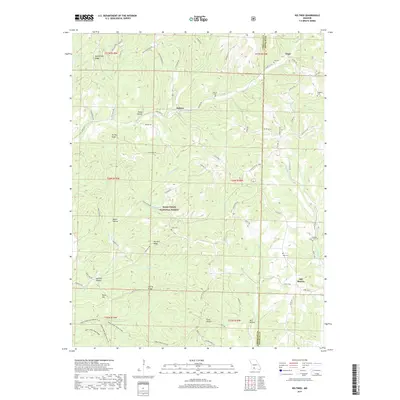
2017 Map of Keltner
USGS Topo · Published 2017About this map
Keltner and Ongo anchor this landscape along the border of Christian and Douglas Counties, where the high ground of Marshfield Ridge gives way to a network of steep hollows and narrow ridges. Much of the southern and central terrain is preserved within the Mark Twain National Forest, characterized by landmarks such as Harmon Ridge and Turnip Knob. For genealogists, the map is particularly valuable for its documentation of family-named burial grounds like Harvill Cem, Maggard Cem, and Hall Cem. The drainage patterns of Swan Cr and its many tributaries, including Little Cedar Cr and Sugar Camp Cr, dictate the layout of early roads and small settlements like Old Merritt. This topography reflects the typical Ozark pattern of ridgeline travel and valley-bottom habitation, with isolated springs such as Harmon Spring serving as vital landmarks for local residents.
Find a feature on this map
86 named features on this map. Tap any name to fly to it.
Don’t see what you’re looking for? This feature index may not catch every label — zoom into the map to look around manually.
Map Details
Editions of this 2017 Keltner Map
This is the sole edition of this map. No revisions or reprints were ever made.
Other maps of this area

1884 · Springfield
USGS Topo · 1:125,000

1886 · Springfield
USGS Topo · 1:125,000

1907 · Forsyth
USGS Topo · 1:125,000

1937 · Bradleyville
USGS Topo · 1:48,000

1937 · Ozark
USGS Topo · 1:48,000

1939 · Fordland
USGS Topo · 1:62,500

1942 · Fordland
USGS Topo · 1:62,500

1943 · Ozark
USGS Topo · 1:62,500

1943 · Bradleyville
USGS Topo · 1:62,500

1945 · Harrison
USGS Topo · 1:250,000