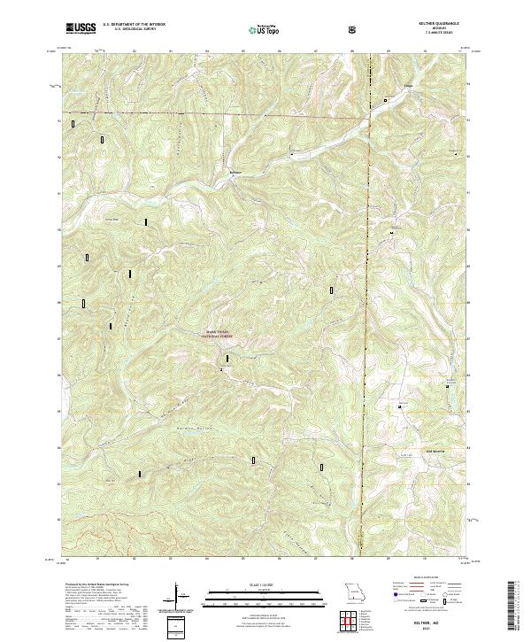
2021 Map of Keltner
USGS Topo · Published 2021About this map
Keltner and Ongo anchor this portion of the Ozark hills, where the landscape is defined by the winding course of Swan Cr and its numerous tributaries. The geography is characterized by prominent ridges like Marshfield Ridge and Harmon Ridge, separated by deep hollows such as Nance Hollow and Harmon Hollow. This area, part of the Mark Twain National Forest, maintains a rural character with a network of country roads like Chadwick Rd and Keltner Rd connecting small settlements and family landmarks. The distribution of small burial grounds, including Harvill Cem, Gray Cem, and the Mount Olive Cem, reflects a history of dispersed homesteading and local community hubs. To the southeast, the terrain transitions toward Old Merritt near the banks of the Boulder Fork, illustrating how early 21st-century settlement patterns continue to follow the natural drainage of the Christian and Douglas County borderlands.
Find a feature on this map
65 named features on this map. Tap any name to fly to it.
Don’t see what you’re looking for? This feature index may not catch every label — zoom into the map to look around manually.
Map Details
Editions of this 2021 Keltner Map
This is the sole edition of this map. No revisions or reprints were ever made.
Other maps of this area

1884 · Springfield
USGS Topo · 1:125,000

1886 · Springfield
USGS Topo · 1:125,000

1907 · Forsyth
USGS Topo · 1:125,000

1937 · Bradleyville
USGS Topo · 1:48,000

1937 · Ozark
USGS Topo · 1:48,000

1939 · Fordland
USGS Topo · 1:62,500

1942 · Fordland
USGS Topo · 1:62,500

1943 · Ozark
USGS Topo · 1:62,500

1943 · Bradleyville
USGS Topo · 1:62,500

1945 · Harrison
USGS Topo · 1:250,000