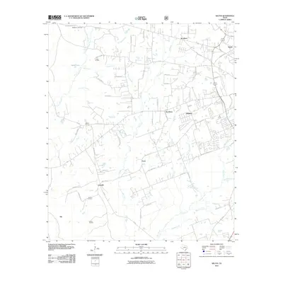
2010 Map of Keltys
USGS Topo · Published 2010About this map
Largent Cemetery and Wallace Cemetery sit within the timbered landscape west of Hudson, anchoring family legacies in this corner of Angelina County. The settlement pattern of the early twenty-first century reveals a network of small communities such as Peavy, Providence, and Granville connected by farm roads and rural routes like Peavy Switch Rd. To the north, Woodlawn and Keltys show more dense development, while the west is defined by the drainage systems of Crawford Creek and the Levi Dunn Branch. This survey provides an exact record of the area's transition from forest and farm plots to increasing residential development, documented through the intricate web of county roads and named water bodies like Walker Lake and Jack Creek that carve through the piney woods.
Find a feature on this map
77 named features on this map. Tap any name to fly to it.
Don’t see what you’re looking for? This feature index may not catch every label — zoom into the map to look around manually.
Map Details
Editions of this 2010 Keltys Map
This is the sole edition of this map. No revisions or reprints were ever made.
Other maps of this area

1932 · Manning
USGS Topo · 1:62,500

1949 · Lufkin
USGS Topo · 1:62,500

1949 · Clawson
USGS Topo · 1:24,000

1949 · Lufkin
USGS Topo · 1:24,000

1949 · Keltys
USGS Topo · 1:24,000

1950 · Keltys
USGS Topo · 1:24,000

1950 · Lufkin
USGS Topo · 1:24,000

1950 · Clawson
USGS Topo · 1:24,000

1950 · Redland
USGS Topo · 1:24,000

1951 · Wells
USGS Topo · 1:24,000