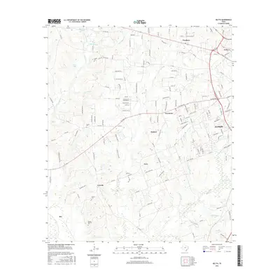
2016 Map of Keltys
USGS Topo · Published 2016About this map
The industrial and residential growth of Lufkin anchors the eastern edge of this landscape, where the historically significant company town of Keltys and the community of Hudson show the transition from dense piney woods to urban development. This 2016 survey highlights the intricate network of county roads and creek systems, such as Kurkindall Cr and Jack Cr, that drain the undulating terrain northwest of the city center. Genealogists will find several notable burial sites including the Wallace Cem, McCarty Cem, and the Dubose-Fairchild Cem near Blix. Further west, the map details more dispersed settlements like Granville and Peavy, interspersed with natural features like Walker Lake and Blackburn Lake. The spatial arrangement of these sites reflects the long-standing timber and rail heritage of this region of East Texas.
Find a feature on this map
150 named features on this map. Tap any name to fly to it.
Don’t see what you’re looking for? This feature index may not catch every label — zoom into the map to look around manually.
Map Details
Editions of this 2016 Keltys Map
This is the sole edition of this map. No revisions or reprints were ever made.
Other maps of this area

1932 · Manning
USGS Topo · 1:62,500

1949 · Lufkin
USGS Topo · 1:62,500

1949 · Clawson
USGS Topo · 1:24,000

1949 · Lufkin
USGS Topo · 1:24,000

1949 · Keltys
USGS Topo · 1:24,000

1950 · Keltys
USGS Topo · 1:24,000

1950 · Lufkin
USGS Topo · 1:24,000

1950 · Clawson
USGS Topo · 1:24,000

1950 · Redland
USGS Topo · 1:24,000

1951 · Wells
USGS Topo · 1:24,000