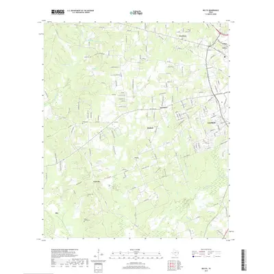
2019 Map of Keltys
USGS Topo · Published 2019About this map
The northern edge of Lufkin and the industrial-residential outskirts of Keltys anchor the eastern side of this Angelina County landscape. Moving west, the terrain transitions into a mosaic of small communities and family-named landmarks including Woodlawn, Hudson, and Peavy. The mapping highlights several family burial sites like Largent Cem, Wallace Cem, and the Dubose - Fairchild Cem, which are vital for local genealogical research. The hydrography is defined by numerous spring-fed branches and creeks, such as Boiler Spring Br and Big Spring Br, which feed into larger systems like Jack Cr and Cedar Cr. This 2019 survey documents the expansion of rural roads and residential loops around established settlements like Granville and Blix, illustrating the modern layout of the Piney Woods region while preserving the locations of its earliest family estates.
Find a feature on this map
160 named features on this map. Tap any name to fly to it.
Don’t see what you’re looking for? This feature index may not catch every label — zoom into the map to look around manually.
Map Details
Editions of this 2019 Keltys Map
This is the sole edition of this map. No revisions or reprints were ever made.
Other maps of this area

1932 · Manning
USGS Topo · 1:62,500

1949 · Lufkin
USGS Topo · 1:62,500

1949 · Clawson
USGS Topo · 1:24,000

1949 · Lufkin
USGS Topo · 1:24,000

1949 · Keltys
USGS Topo · 1:24,000

1950 · Keltys
USGS Topo · 1:24,000

1950 · Lufkin
USGS Topo · 1:24,000

1950 · Clawson
USGS Topo · 1:24,000

1950 · Redland
USGS Topo · 1:24,000

1951 · Wells
USGS Topo · 1:24,000