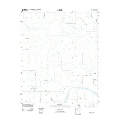
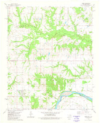
2013 Map of Kemp
USGS Topo · Published 2013About this map
The Red River defines the southern reach of this Bryan County landscape, where the town of Kemp sits just north of the floodplain. The area is characterized by a dense network of creeks and bayous, including Island Bayou and Sassafras Cr, which meander through the low-lying terrain. To the east, the settlement of Yarnaby is situated near the Yarnaby Cem, while the northern portion of the map is marked by Burney Cem and its namesake Burney Cemetery Rd.
Find a feature on this map
55 named features on this map. Tap any name to fly to it.
Don’t see what you’re looking for? This feature index may not catch every label — zoom into the map to look around manually.
Map Details
Editions of this 2013 Kemp Map
This is the sole edition of this map. No revisions or reprints were ever made.
Other maps of this area

1954 · Sherman
USGS Topo · 1:250,000

1957 · Wade
USGS Topo · 1:62,500

1958 · Durant
USGS Topo · 1:62,500

1958 · Bonham
USGS Topo · 1:62,500

1958 · Whitesright
USGS Topo · 1:62,500

1958 · Sherman
USGS Topo · 1:250,000
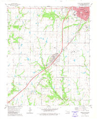
1980 · Durant South
USGS Topo · 1:24,000
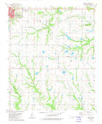
1980 · Roberta
USGS Topo · 1:24,000
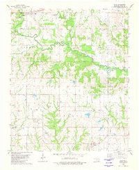
1980 · Blue
USGS Topo · 1:24,000
1980 · Kemp
USGS Topo · 1:24,000