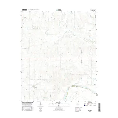
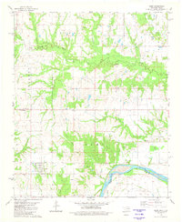
2016 Map of Kemp
USGS Topo · Published 2016About this map
Red River floodplain soils and low-lying wetlands define this borderland region along the Bryan County and Fannin County line. The settlement of Kemp serves as the local hub, supported by a network of rural roads such as Kemp Rd and Peanut Trl Rd. The area is notably dense with genealogical sites, including Old Kemp Cem, Kemp Cem, and Burney Cem, indicating generations of local family residency near the river’s edge.
Find a feature on this map
57 named features on this map. Tap any name to fly to it.
Don’t see what you’re looking for? This feature index may not catch every label — zoom into the map to look around manually.
Map Details
Editions of this 2016 Kemp Map
This is the sole edition of this map. No revisions or reprints were ever made.
Other maps of this area

1954 · Sherman
USGS Topo · 1:250,000

1957 · Wade
USGS Topo · 1:62,500

1958 · Durant
USGS Topo · 1:62,500

1958 · Bonham
USGS Topo · 1:62,500

1958 · Whitesright
USGS Topo · 1:62,500

1958 · Sherman
USGS Topo · 1:250,000
1980 · Durant South
USGS Topo · 1:24,000
1980 · Roberta
USGS Topo · 1:24,000
1980 · Blue
USGS Topo · 1:24,000
1980 · Kemp
USGS Topo · 1:24,000