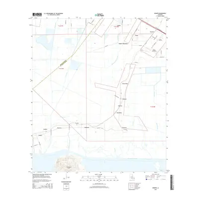
2015 Map of Kemper
USGS Topo · Published 2015About this map
Kilgore Plantation and the surrounding sugar-producing landscapes of ST. Mary Parish define this coastal Louisiana quadrangle. The map details a complex network of drainage and transportation canals, including the Iberia-Saint Mary Canal and the Intracoastal Waterway, which separate the low-lying mainland from the prominent elevation of Cote Blanche Island. Small historic communities and family-named landings such as Bonvillain, Glencoe, and Richland line the roads and waterways, reflecting the region's agricultural and maritime heritage.
Find a feature on this map
68 named features on this map. Tap any name to fly to it.
Don’t see what you’re looking for? This feature index may not catch every label — zoom into the map to look around manually.
Map Details
Editions of this 2015 Kemper Map
This is the sole edition of this map. No revisions or reprints were ever made.
Other maps of this area

1937 · Bayou Sale
USGS Topo · 1:62,500

1937 · Jeanerette
USGS Topo · 1:62,500

1937 · Derouen
USGS Topo · 1:62,500

1945 · New Orleans
USGS Topo · 1:250,000

1949 · Cypremort Pt
USGS Topo · 1:31,680

1954 · Jeanerette
USGS Topo · 1:62,500

1957 · Bayou Sale
USGS Topo · 1:62,500

1963 · New Orleans
USGS Topo · 1:250,000
1963 · Weeks
USGS Topo · 1:24,000
1963 · Charenton
USGS Topo · 1:24,000