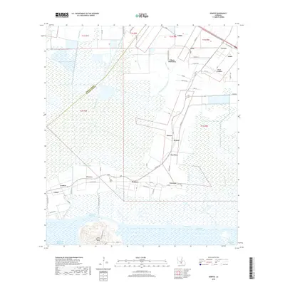
2018 Map of Kemper
USGS Topo · Published 2018About this map
Cote Blanche Island rises above the low-lying marshlands and bayous of St. Mary Parish, marking a distinctive geological feature near the edge of the Gulf of Mexico. The landscape is defined by an intricate network of water management and transport, including the Intracoastal Waterway, Iberia-Saint Mary Canal, and Patout Canal, which serve the surrounding agricultural and industrial interests. Settlements such as Glencoe, Kemper, and Bonvillain are concentrated along the roadway corridors, reflecting a community structure historically tied to the land and the waterways.
Find a feature on this map
64 named features on this map. Tap any name to fly to it.
Don’t see what you’re looking for? This feature index may not catch every label — zoom into the map to look around manually.
Map Details
Editions of this 2018 Kemper Map
This is the sole edition of this map. No revisions or reprints were ever made.
Other maps of this area

1937 · Bayou Sale
USGS Topo · 1:62,500

1937 · Jeanerette
USGS Topo · 1:62,500

1937 · Derouen
USGS Topo · 1:62,500

1945 · New Orleans
USGS Topo · 1:250,000

1949 · Cypremort Pt
USGS Topo · 1:31,680

1954 · Jeanerette
USGS Topo · 1:62,500

1957 · Bayou Sale
USGS Topo · 1:62,500

1963 · New Orleans
USGS Topo · 1:250,000
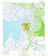
1963 · Weeks
USGS Topo · 1:24,000
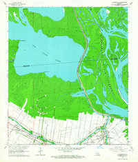
1963 · Charenton
USGS Topo · 1:24,000