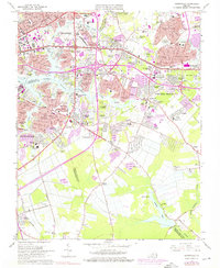
1965 Map of Kempsville
USGS Topo · Published 1976About this map
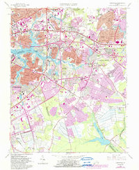
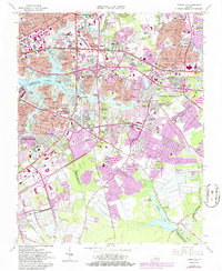
Aragona Village and Pembroke Manor anchor the northern expansion of the Tidewater region in this mid-century survey. The landscape reflects the rapid urbanization of Virginia's independent cities, where residential developments like Fairlawn Estates and River Forest Shores began to surround older crossroads like Thomas Corner and Chinese Corner. The Eastern Branch Elizabeth River and its many tributaries, including Broad Creek and Indian River, define the jagged shoreline, while the Southern Railway and Norfolk Southern Railway provide the industrial backbone of the area.
Find a feature on this map
138 named features on this map. Tap any name to fly to it.
Don’t see what you’re looking for? This feature index may not catch every label — zoom into the map to look around manually.
Map Details
Editions of this 1965 Kempsville Map
6 editions found
Other maps of this area

1907 · Norfolk
USGS Topo · 1:125,000

1918 · Cape Henry
USGS Topo · 1:62,500

1919 · Cape Henry
USGS Topo · 1:62,500

1921 · Newport News
USGS Topo · 1:62,500

1939 · Moyock
USGS Topo · 1:62,500

1940 · Lake Drummond
USGS Topo · 1:62,500

1944 · Norfolk South
USGS Topo · 1:25,000

1945 · Lake Drummond
USGS Topo · 1:62,500

1946 · Moyock
USGS Topo · 1:62,500

1948 · Norfolk South
USGS Topo · 1:24,000