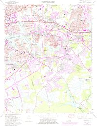
1965 Map of Kempsville
USGS Topo · Published 1980About this map
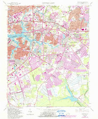
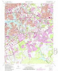
Aragona Village and Pembroke Manor anchor a landscape in the midst of mid-century suburban expansion where the boundaries of Norfolk, Virginia Beach, and Chesapeake converge. The 1965 survey, updated with 1980 revisions, shows a dense network of new subdivisions like Pocahontas Village and Boulevard Manor encroaching upon older landmarks. Traces of the region's earlier rural character remain visible through an Old RR Grade and the presence of the State Prison Farm No 22 to the south.
Find a feature on this map
120 named features on this map. Tap any name to fly to it.
Don’t see what you’re looking for? This feature index may not catch every label — zoom into the map to look around manually.
Map Details
Editions of this 1965 Kempsville Map
6 editions found
Other maps of this area

1907 · Norfolk
USGS Topo · 1:125,000

1918 · Cape Henry
USGS Topo · 1:62,500

1919 · Cape Henry
USGS Topo · 1:62,500

1921 · Newport News
USGS Topo · 1:62,500

1939 · Moyock
USGS Topo · 1:62,500

1940 · Lake Drummond
USGS Topo · 1:62,500

1944 · Norfolk South
USGS Topo · 1:25,000

1945 · Lake Drummond
USGS Topo · 1:62,500

1946 · Moyock
USGS Topo · 1:62,500

1948 · Norfolk South
USGS Topo · 1:24,000