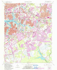
1965 Map of Kempsville
USGS Topo · Published 1986About this map
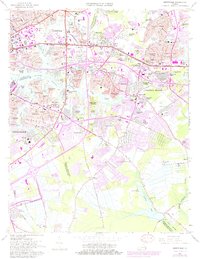
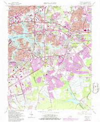
The Eastern Branch Elizabeth River and its various tidal inlets shape this mid-1960s portrait of the urbanizing South Hampton Roads region. This area, spanning the boundaries of Norfolk, Virginia Beach, and Chesapeake, shows a landscape in rapid transition as residential subdivisions like Aragona Village and Pembroke Manor expand into former farmlands. Cultural and institutional anchors are prominent throughout, including the sprawling Virginia Wesleyan Col campus, Norfolk Academy, and the State Prison Farm No 22 in the southern reaches. The map captures the early footprint of the regional highway network with Interstate 64 and Interstate 264 bisecting the terrain. Further south, the landscape remains more open near Stumpy Lake and the dense wetlands of Gum Swamp, providing a stark contrast to the growing commercial hubs around Davis Corner and Chinese Corner.
Find a feature on this map
118 named features on this map. Tap any name to fly to it.
Don’t see what you’re looking for? This feature index may not catch every label — zoom into the map to look around manually.
Map Details
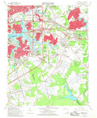
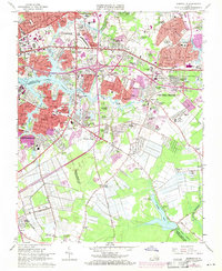
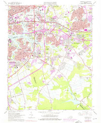
Editions of this 1965 Kempsville Map
6 editions found
Other maps of this area

1907 · Norfolk
USGS Topo · 1:125,000

1918 · Cape Henry
USGS Topo · 1:62,500

1919 · Cape Henry
USGS Topo · 1:62,500

1921 · Newport News
USGS Topo · 1:62,500

1939 · Moyock
USGS Topo · 1:62,500

1940 · Lake Drummond
USGS Topo · 1:62,500

1944 · Norfolk South
USGS Topo · 1:25,000

1945 · Lake Drummond
USGS Topo · 1:62,500

1946 · Moyock
USGS Topo · 1:62,500

1948 · Norfolk South
USGS Topo · 1:24,000