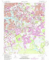
1965 Map of Kempsville
USGS Topo · Published 1986About this map
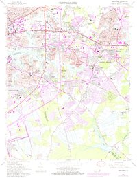
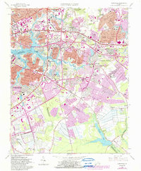
Kempsville and its surrounding residential developments sit at the heart of this mid-1960s survey, showing a landscape in rapid transition as Virginia Beach and Norfolk expand. The intricate waterways of the Eastern Branch Elizabeth River and Broad Creek define the northwestern portion, while the south remains more open, anchored by the Stumpy Lake reservoir and the State Prison Farm No 22. Large suburban tracts such as Aragona Village and Pembroke Manor illustrate the post-war housing boom that reshaped Princess Anne County.
Find a feature on this map
125 named features on this map. Tap any name to fly to it.
Don’t see what you’re looking for? This feature index may not catch every label — zoom into the map to look around manually.
Map Details
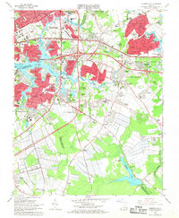
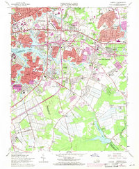
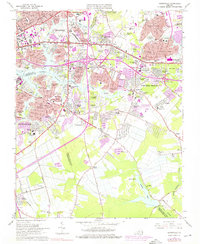
Editions of this 1965 Kempsville Map
6 editions found
Other maps of this area

1907 · Norfolk
USGS Topo · 1:125,000

1918 · Cape Henry
USGS Topo · 1:62,500

1919 · Cape Henry
USGS Topo · 1:62,500

1921 · Newport News
USGS Topo · 1:62,500

1939 · Moyock
USGS Topo · 1:62,500

1940 · Lake Drummond
USGS Topo · 1:62,500

1944 · Norfolk South
USGS Topo · 1:25,000

1945 · Lake Drummond
USGS Topo · 1:62,500

1946 · Moyock
USGS Topo · 1:62,500

1948 · Norfolk South
USGS Topo · 1:24,000