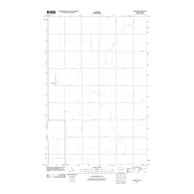
2011 Map of Kempton
USGS Topo · Published 2011About this map
Kempton serves as the primary landmark on this prairie landscape, situated along Railroad St in a region defined by its orderly section-line road grid. The terrain is marked by the subtle drainage patterns of Hazen Brook, which winds through the central and northern portions of the quadrangle. In the southwest corner, the Little Goose River creates more complex topographical contours as it meanders through the agricultural expanse. This survey reflects the enduring rural character of Grand Forks County, where the transition from north to south is measured by numerical avenues from 14th Ave NE down to 6th Ave NE. The map illustrates the intersection of small-scale settlement and the systematic land division that characterizes this part of North Dakota.
Find a feature on this map
27 named features on this map. Tap any name to fly to it.
Don’t see what you’re looking for? This feature index may not catch every label — zoom into the map to look around manually.
Map Details
Editions of this 2011 Kempton Map
This is the sole edition of this map. No revisions or reprints were ever made.
Other maps of this area

1934 · Emerado
USGS Topo · 1:48,000

1936 · Emerado
USGS Topo · 1:62,500

1936 · Larimore
USGS Topo · 1:62,500

1952 · Grand Forks
USGS Topo · 1:250,000

1956 · Grand Forks
USGS Topo · 1:250,000

1963 · Larimore East
USGS Topo · 1:24,000

1963 · Kempton
USGS Topo · 1:24,000

1963 · Larimore SW
USGS Topo · 1:24,000

1963 · Larimore West
USGS Topo · 1:24,000

1963 · Emerado SW
USGS Topo · 1:24,000