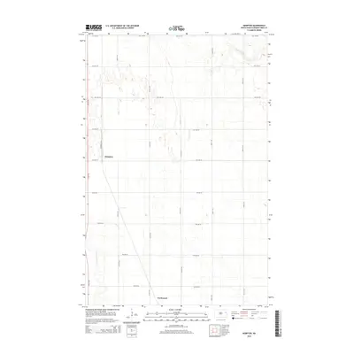
2014 Map of Kempton
USGS Topo · Published 2014About this map
Northwood and the smaller settlement of Kempton anchor this 2014 survey of the Grand Forks County prairie. The landscape is defined by the rigid grid of the Public Land Survey System, with roads like 10th Ave NE and 34th St NE marking section lines across the agricultural expanse. Water features are relatively sparse, though the meandering course of Hazen Brook cuts through the northern sections while the Little Goose River flows near the southwestern corner. The presence of Railroad St NE in Kempton points to the historical importance of the rail corridor in shaping these rural North Dakota communities. This map serves as a clear record of modern property boundaries and local infrastructure in a region where the traditional township-and-range layout continues to dictate the patterns of daily life and transportation.
Find a feature on this map
20 named features on this map. Tap any name to fly to it.
Don’t see what you’re looking for? This feature index may not catch every label — zoom into the map to look around manually.
Map Details
Editions of this 2014 Kempton Map
This is the sole edition of this map. No revisions or reprints were ever made.
Other maps of this area

1934 · Emerado
USGS Topo · 1:48,000

1936 · Emerado
USGS Topo · 1:62,500

1936 · Larimore
USGS Topo · 1:62,500

1952 · Grand Forks
USGS Topo · 1:250,000

1956 · Grand Forks
USGS Topo · 1:250,000

1963 · Larimore East
USGS Topo · 1:24,000

1963 · Kempton
USGS Topo · 1:24,000

1963 · Larimore SW
USGS Topo · 1:24,000

1963 · Larimore West
USGS Topo · 1:24,000

1963 · Emerado SW
USGS Topo · 1:24,000