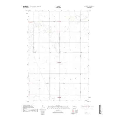
2020 Map of Kempton
USGS Topo · Published 2020About this map
Kempton and the northern outskirts of Northwood anchor this survey of Grand Forks County, where the agricultural grid is defined by a dense network of section-line roads. The landscape is primarily shaped by the winding path of Hazen Brook and the Little Goose River, which break the regularity of the prairie fields. Local history and genealogy are preserved in the locations of Avon Cem and North Cem, both situated along the established county routes. The influence of early transportation is visible in the corridor of Railroad St in Kempton, reflecting the rail-centered development of these small prairie communities. This modern survey provides a precise account of the rural township boundaries and the intersection of Co Rd 6 and Co Rd 12, which continue to serve as the primary conduits for this farming region.
Find a feature on this map
30 named features on this map. Tap any name to fly to it.
Don’t see what you’re looking for? This feature index may not catch every label — zoom into the map to look around manually.
Map Details
Editions of this 2020 Kempton Map
This is the sole edition of this map. No revisions or reprints were ever made.
Other maps of this area

1934 · Emerado
USGS Topo · 1:48,000

1936 · Emerado
USGS Topo · 1:62,500

1936 · Larimore
USGS Topo · 1:62,500

1952 · Grand Forks
USGS Topo · 1:250,000

1956 · Grand Forks
USGS Topo · 1:250,000

1963 · Larimore East
USGS Topo · 1:24,000

1963 · Kempton
USGS Topo · 1:24,000

1963 · Larimore SW
USGS Topo · 1:24,000

1963 · Larimore West
USGS Topo · 1:24,000

1963 · Emerado SW
USGS Topo · 1:24,000