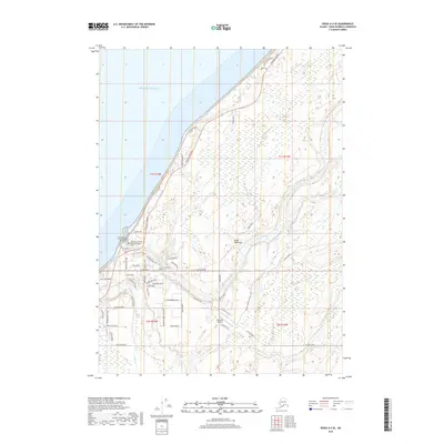
2018 Map of Kenai A-5 SE
USGS Topo · Published 2018About this map
The western shoreline of the Kenai Peninsula meets the Pacific Ocean in this 2018 survey, where the Sterling Highway serves as the primary artery connecting coastal settlements. The landscape is defined by the winding course of the Ninilchik River and Deep Creek, which carve through the terrain before reaching the sea. Local history is anchored by the Transfiguration of Our Lord Russian Orthodox Cem and the American Legion Cem, reflecting the cultural heritage of the area. Aviation and resource extraction are central to the region's modern infrastructure, evidenced by the Ninilchik Airport and a network of arterial routes like Oil Well Road. Numerous small streets and residential lanes, such as Bear Paw Road and Wild Salmon Way, suggest a community deeply tied to its geography and the traditional industries of the Alaska coast.
Find a feature on this map
59 named features on this map. Tap any name to fly to it.
Don’t see what you’re looking for? This feature index may not catch every label — zoom into the map to look around manually.
Map Details
Editions of this 2018 Kenai A-5 SE Map
This is the sole edition of this map. No revisions or reprints were ever made.
Other maps of this area

1944 · Kenai
USGS Topo · 1:250,000

1946 · Seldovia D-5
USGS Topo · 1:63,360

1949 · Seldovia D-4
USGS Topo · 1:63,360

1950 · Kenai
USGS Topo · 1:250,000

1951 · Seldovia D-5
USGS Topo · 1:63,360

1951 · Seldovia D-4
USGS Topo · 1:63,360

1951 · Seldovia
USGS Topo · 1:250,000

1951 · Kenai A-5
USGS Topo · 1:63,360

1951 · Kenai A-4
USGS Topo · 1:63,360

1952 · Kenai A-5
USGS Topo · 1:63,360