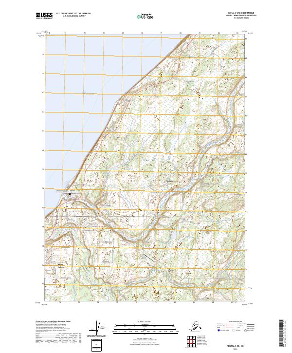
2024 Map of Kenai A-5 SE
USGS Topo · Published 2024About this map
The Ninilchik River flows into Cook Inlet on this western coast of the Kenai Peninsula, marking a landscape where maritime history meets modern infrastructure. The village of Ninilchik serves as a focal point, anchored by the Transfiguration of Our Lord Russian Orthodox Cem and American Legion Cem, which reflect the area's diverse cultural heritage. To the south, the settlement of Happy Valley sits along the Sterling Highway, the primary artery connecting these coastal communities. The presence of the Ninilchik Airport and numerous local thoroughfares like Oil Well Road and Orthodox Avenue illustrates the blend of residential growth and industrial access. Further south, Deep Creek cuts through the terrain, highlighting the importance of the region's watersheds to local life and the surrounding environment.
Find a feature on this map
55 named features on this map. Tap any name to fly to it.
Don’t see what you’re looking for? This feature index may not catch every label — zoom into the map to look around manually.
Map Details
Editions of this 2024 Kenai A-5 SE Map
This is the sole edition of this map. No revisions or reprints were ever made.
Other maps of this area

1944 · Kenai
USGS Topo · 1:250,000

1946 · Seldovia D-5
USGS Topo · 1:63,360

1949 · Seldovia D-4
USGS Topo · 1:63,360

1950 · Kenai
USGS Topo · 1:250,000

1951 · Seldovia D-5
USGS Topo · 1:63,360

1951 · Seldovia D-4
USGS Topo · 1:63,360

1951 · Seldovia
USGS Topo · 1:250,000

1951 · Kenai A-5
USGS Topo · 1:63,360

1951 · Kenai A-4
USGS Topo · 1:63,360

1952 · Kenai A-5
USGS Topo · 1:63,360