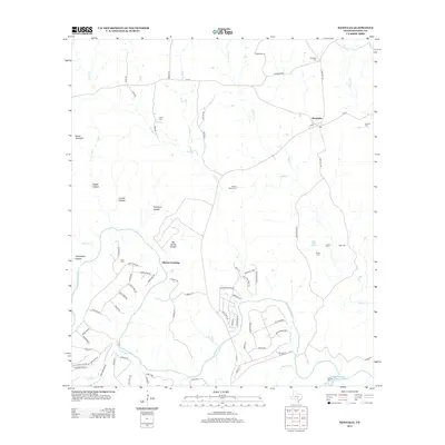
2013 Map of Kendalia
USGS Topo · Published 2013About this map
Kendalia serves as the central hub of this Hill Country landscape, situated where Crabapple Rd meets FM-473. The map captures a detailed distribution of family history through its numerous small burial grounds, including the Kneupper Cem, Schmidt Cem, and Jones Cem. These sites, often located near private ranch roads or creek bends, reflect the deep-rooted settlement patterns of the region's early families.
Find a feature on this map
84 named features on this map. Tap any name to fly to it.
Don’t see what you’re looking for? This feature index may not catch every label — zoom into the map to look around manually.
Map Details
Editions of this 2013 Kendalia Map
This is the sole edition of this map. No revisions or reprints were ever made.
Other maps of this area

1887 · Blanco
USGS Topo · 1:125,000

1894 · Fredericksburg
USGS Topo · 1:125,000

1894 · Blanco
USGS Topo · 1:125,000

1920 · Smithsons Valley
USGS Topo · 1:62,500

1927 · Smithson Valley
USGS Topo · 1:62,500

1929 · Smithson Valley
USGS Topo · 1:62,500

1940 · Smithson Valley
USGS Topo · 1:62,500

1954 · Llano
USGS Topo · 1:250,000

1954 · San Antonio
USGS Topo · 1:250,000

1955 · Llano
USGS Topo · 1:250,000