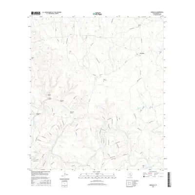
2016 Map of Kendalia
USGS Topo · Published 2016About this map
The Guadalupe River carves a winding path through this portion of Kendall County, defining a landscape of deep canyons and seasonal creeks. To the north, the settlement of Kendalia serves as a central hub for the surrounding ranchlands, connected by routes like FM 473 and Old Blanco RD. The terrain is marked by significant elevation changes, from the heights of Round Mtn to the steep descents of Heiligmann Canyon and Carlisle Canyon.
Find a feature on this map
77 named features on this map. Tap any name to fly to it.
Don’t see what you’re looking for? This feature index may not catch every label — zoom into the map to look around manually.
Map Details
Editions of this 2016 Kendalia Map
This is the sole edition of this map. No revisions or reprints were ever made.
Other maps of this area

1887 · Blanco
USGS Topo · 1:125,000

1894 · Fredericksburg
USGS Topo · 1:125,000

1894 · Blanco
USGS Topo · 1:125,000

1920 · Smithsons Valley
USGS Topo · 1:62,500

1927 · Smithson Valley
USGS Topo · 1:62,500

1929 · Smithson Valley
USGS Topo · 1:62,500

1940 · Smithson Valley
USGS Topo · 1:62,500

1954 · Llano
USGS Topo · 1:250,000

1954 · San Antonio
USGS Topo · 1:250,000

1955 · Llano
USGS Topo · 1:250,000