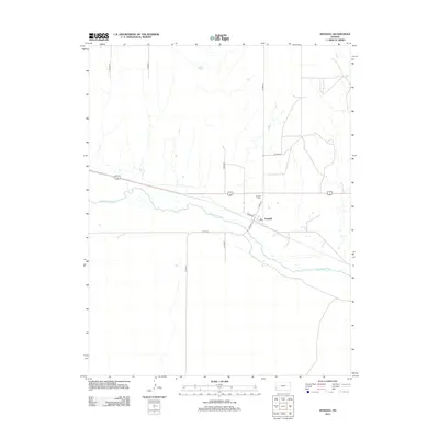
2012 Map of Kendall
USGS Topo · Published 2012About this map
The Arkansas River winds through this section of Hamilton County, serving as the primary geographic corridor for both the water and transportation networks. The settlement of Kendall is positioned north of the river, where local life centers around Main St and Avenue A. This 2012 survey illustrates the grid of county roads, such as Co Road Z and Co Road W, that divide the surrounding plains into a precise agricultural patchwork. Just northwest of the town site lies the Kendall Cem, a significant landmark for those researching family history in this western Kansas river valley. The landscape is defined by the contrast between the meandering river basin and the rigid section lines of the rural road system, including River Rd which follows the southern bank.
Find a feature on this map
12 named features on this map. Tap any name to fly to it.
Don’t see what you’re looking for? This feature index may not catch every label — zoom into the map to look around manually.
Map Details
Editions of this 2012 Kendall Map
This is the sole edition of this map. No revisions or reprints were ever made.
Other maps of this area

1891 · Larned
USGS Topo · 1:125,000

1900 · Syracuse
USGS Topo · 1:125,000

1900 · Lakin
USGS Topo · 1:125,000

1920 · Syracuse
USGS Topo · 1:125,000

1955 · Dodge City
USGS Topo · 1:250,000

1955 · Scott City
USGS Topo · 1:250,000

1958 · Dodge City
USGS Topo · 1:250,000

1958 · Scott City
USGS Topo · 1:250,000

1959 · Dodge City
USGS Topo · 1:250,000

1966 · Syracuse East SW
USGS Topo · 1:24,000