
1966 Map of Syracuse East SW
USGS Topo · Published 1967About this map
Lamont terrain in Hamilton County defines this mid-1960s topographic study, capturing a high plains landscape characterized by a sparse but deliberate network of rural institutions and early energy development. The presence of the Ebenflure Ch and an adjacent Cem near the township boundary serves as a primary social landmark for the area's farming community. This survey, conducted using photogrammetric methods from 1963 aerial photography, reveals a shift toward industrial extraction in the southern portion of the quadrangle. Localized economic activity is evidenced by Gravel Pits and several scattered Gas Well sites, which represent the integration of natural resource exploitation into the traditional agricultural grid. The map meticulously records the township and range lines, including R. 40 W. and R. 41 W., providing a clear spatial framework for researchers tracing land ownership and early energy leases in Western Kansas.
Find a feature on this map
7 named features on this map. Tap any name to fly to it.
Don’t see what you’re looking for? This feature index may not catch every label — zoom into the map to look around manually.
Map Details
Editions of this 1966 Syracuse East SW Map
This is the sole edition of this map. No revisions or reprints were ever made.
Other maps of this area

1900 · Syracuse
USGS Topo · 1:125,000

1920 · Syracuse
USGS Topo · 1:125,000

1955 · Dodge City
USGS Topo · 1:250,000

1958 · Dodge City
USGS Topo · 1:250,000

1959 · Dodge City
USGS Topo · 1:250,000

1959 · Big Bow NE
USGS Topo · 1:24,000

1959 · Big Bow NW
USGS Topo · 1:24,000

1966 · Syracuse East
USGS Topo · 1:24,000
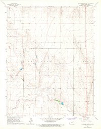
1966 · Syracuse West SE
USGS Topo · 1:24,000
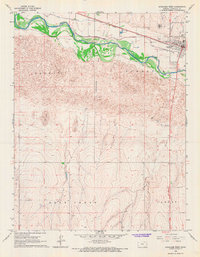
1966 · Syracuse West
USGS Topo · 1:24,000