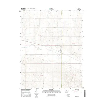
2016 Map of Kendall
USGS Topo · Published 2016About this map
The Arkansas River carves through the central portion of this landscape, defining the character of the settlement at Kendall. This High Plains community sits just west of the Hamilton Co and Kearny Co boundary, organized around a traditional grid that includes Main St and Ave A. The map shows a clear transition between the irrigated river valley and the surrounding sections of the Public Land Survey System, including t24s r39w and t25s r39w. Genealogists and local historians can locate the Kendall Cem north of the river, while the local transportation network is marked by rural thoroughfares like River Rd and Co Rd AA which facilitate movement through the agricultural terrain.
Find a feature on this map
17 named features on this map. Tap any name to fly to it.
Don’t see what you’re looking for? This feature index may not catch every label — zoom into the map to look around manually.
Map Details
Editions of this 2016 Kendall Map
This is the sole edition of this map. No revisions or reprints were ever made.
Other maps of this area

1891 · Larned
USGS Topo · 1:125,000

1900 · Syracuse
USGS Topo · 1:125,000

1900 · Lakin
USGS Topo · 1:125,000

1920 · Syracuse
USGS Topo · 1:125,000

1955 · Dodge City
USGS Topo · 1:250,000

1955 · Scott City
USGS Topo · 1:250,000

1958 · Dodge City
USGS Topo · 1:250,000

1958 · Scott City
USGS Topo · 1:250,000

1959 · Dodge City
USGS Topo · 1:250,000

1966 · Syracuse East SW
USGS Topo · 1:24,000