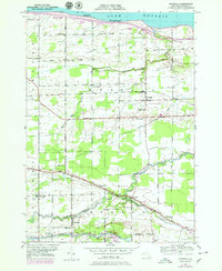
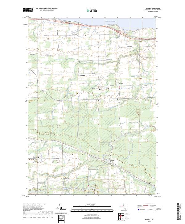
2023 Map of Kendall OE N
USGS Topo · Published 2023About this map
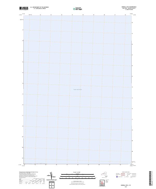
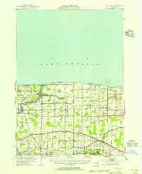
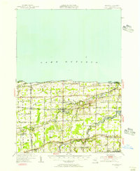
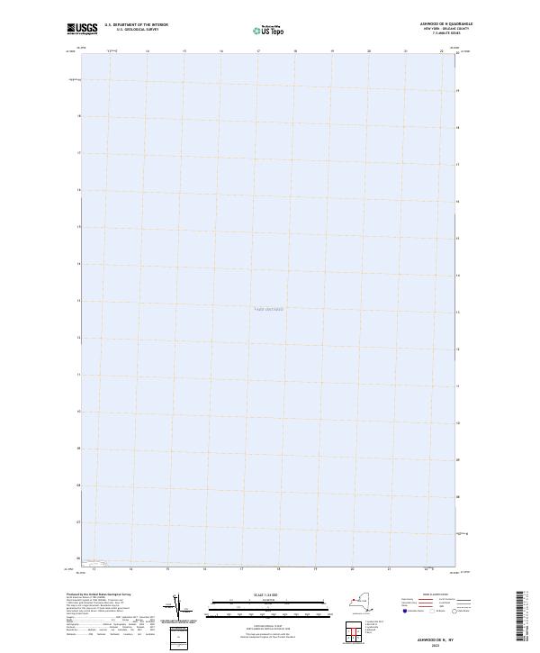
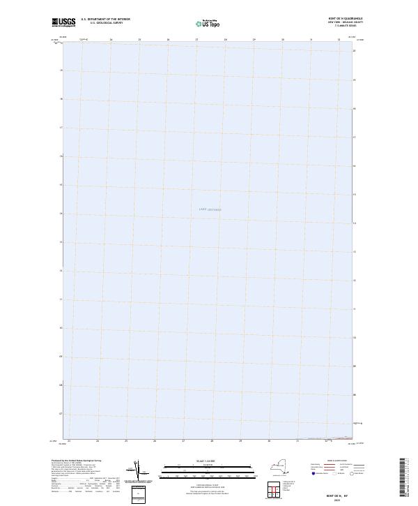
Lake Ontario dominates this 2023 nautical and topographic survey, covering nearly the entire extent of the quadrangle. As a primary component of the Great Lakes system, the waters shown here represent the deep-water transition zone north of the Kendall shoreline. The lack of land-based features on this specific sheet highlights the vast open-water expanse of the lake, serving as a critical reference for modern maritime navigation and hydrological monitoring by the U.S. Geological Survey.
Find a feature on this map
1 named feature on this map. Tap any name to fly to it.
Don’t see what you’re looking for? This feature index may not catch every label — zoom into the map to look around manually.
Map Details
Editions of this 2023 Kendall OE N Map
This is the sole edition of this map. No revisions or reprints were ever made.
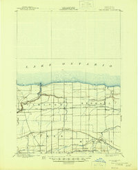
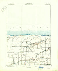
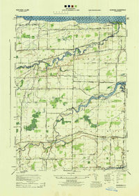
Historical Maps of Monroe County Through Time
18 maps found
1897 Oak Orchard
Orleans County, NY
1897 Ridgeway
Orleans County, NY
1944 Ashwood
Orleans County, NY
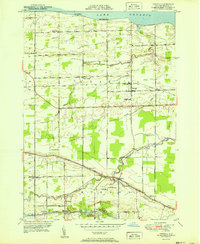
1949 Kendall
Orleans County, NY
1950 Ashwood
Orleans County, NY
1950 Knowlesville
Orleans County, NY
1950 Ridgeway
Orleans County, NY
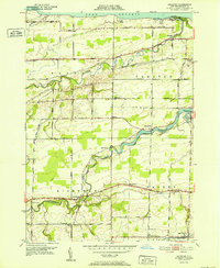
1951 Kendall
Orleans County, NY
1951 Kent
Orleans County, NY
1952 Ashwood
Orleans County, NY
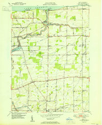
1978 Kendall
Orleans County, NY
2023 Ashwood OE N
Orleans County, NY

2023 Ashwood
Orleans County, NY
2023 Kendall OE N
Orleans County, NY
2023 Kendall
Orleans County, NY
2023 Kent OE N
Orleans County, NY

2023 Kent
Orleans County, NY

2023 Knowlesville
Orleans County, NY