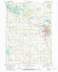
1973 Map of Kendallville
USGS Topo · Published 1991About this map
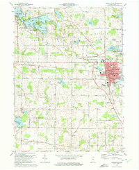
Kendallville serves as the industrial and social anchor of this Noble County region, situated along the Penn Central rail line. The town's layout in the 1970s shows a established residential grid surrounding Bixler Lake and City Park, with the Kendallville Municipal Airport and Fairgrounds marking the eastern periphery. The landscape is defined by its glacial hydrology, featuring dozens of named water bodies and islands. To the northwest, Rome City borders the intricate shoreline of Sylvan Lake, where the Gene Stratton Porter State Memorial preserves the legacy of the local author and naturalist.
Find a feature on this map
64 named features on this map. Tap any name to fly to it.
Don’t see what you’re looking for? This feature index may not catch every label — zoom into the map to look around manually.
Map Details
Editions of this 1973 Kendallville Map
2 editions found
Other maps of this area

1942 · Stroh
USGS Topo · 1:24,000

1947 · Wolcottville
USGS Topo · 1:24,000

1947 · Oliver Lake
USGS Topo · 1:24,000

1951 · Merriam
USGS Topo · 1:24,000

1953 · Fort Wayne
USGS Topo · 1:250,000

1955 · Corunna
USGS Topo · 1:24,000

1955 · Ege
USGS Topo · 1:24,000

1955 · Kendallville
USGS Topo · 1:24,000

1956 · Fort Wayne
USGS Topo · 1:250,000

1956 · Albion
USGS Topo · 1:24,000