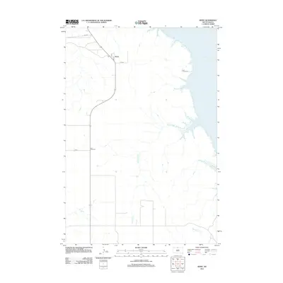
2012 Map of Kenel
USGS Topo · Published 2012About this map
Kenel sits along the western bluffs of the Missouri River valley, overlooking the expansive waters of Lake Oahe in northern South Dakota. This 2012 survey documents the contemporary rural landscape where the prairie meets the reservoir, defined by the winding paths of Blackhawk Cr and Mad Bear Cr. Local history is anchored by the presence of Saint Thomas Cem near the shoreline and Saint Lukes Cem further inland, marking the spiritual and communal centers of this plains community. The map details the simple road network connecting the settlement, including 1st Ave and Co RD, which navigate the elevation changes between the river's edge and the high tableland.
Find a feature on this map
10 named features on this map. Tap any name to fly to it.
Don’t see what you’re looking for? This feature index may not catch every label — zoom into the map to look around manually.
Map Details
Editions of this 2012 Kenel Map
This is the sole edition of this map. No revisions or reprints were ever made.
Other maps of this area

1953 · McIntosh
USGS Topo · 1:250,000

1956 · Wakpala
USGS Topo · 1:24,000

1958 · McIntosh
USGS Topo · 1:250,000

1965 · Pollock SE
USGS Topo · 1:24,000

1965 · Pollock
USGS Topo · 1:24,000

1966 · Mahto NE
USGS Topo · 1:24,000

1966 · Kenel
USGS Topo · 1:24,000

1966 · Kline Buttes
USGS Topo · 1:24,000

1966 · Pollock NW
USGS Topo · 1:24,000

1967 · Mobridge NE
USGS Topo · 1:24,000