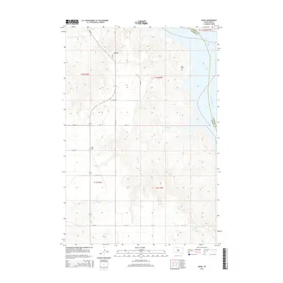
2015 Map of Kenel
USGS Topo · Published 2015About this map
Kenel sits atop the high ground of the Missouri Plateau in this mid-2010s survey, overlooking the expansive waters of Lake Oahe where it meets the Missouri River. The landscape is defined by the sharp transition from the flat agricultural sections in the west to the deeply eroded breaks and coulees that drop toward the eastern shoreline. Significant for genealogical research, the map identifies local burial sites including Saint Thomas Cem and Saint Lukes Cem, which serve as quiet landmarks within this rural expanse. Drainage systems like Blackhawk Cr and Mad Bear Cr carve through the terrain, illustrating the natural watershed patterns of Corson County. The grid-based road system, featuring routes like 109th St and BIA Rd 3, provides a clear view of the modern infrastructure supporting this remote riverine community.
Find a feature on this map
22 named features on this map. Tap any name to fly to it.
Don’t see what you’re looking for? This feature index may not catch every label — zoom into the map to look around manually.
Map Details
Editions of this 2015 Kenel Map
This is the sole edition of this map. No revisions or reprints were ever made.
Other maps of this area

1953 · McIntosh
USGS Topo · 1:250,000

1956 · Wakpala
USGS Topo · 1:24,000

1958 · McIntosh
USGS Topo · 1:250,000

1965 · Pollock SE
USGS Topo · 1:24,000

1965 · Pollock
USGS Topo · 1:24,000

1966 · Mahto NE
USGS Topo · 1:24,000

1966 · Kenel
USGS Topo · 1:24,000

1966 · Kline Buttes
USGS Topo · 1:24,000

1966 · Pollock NW
USGS Topo · 1:24,000

1967 · Mobridge NE
USGS Topo · 1:24,000