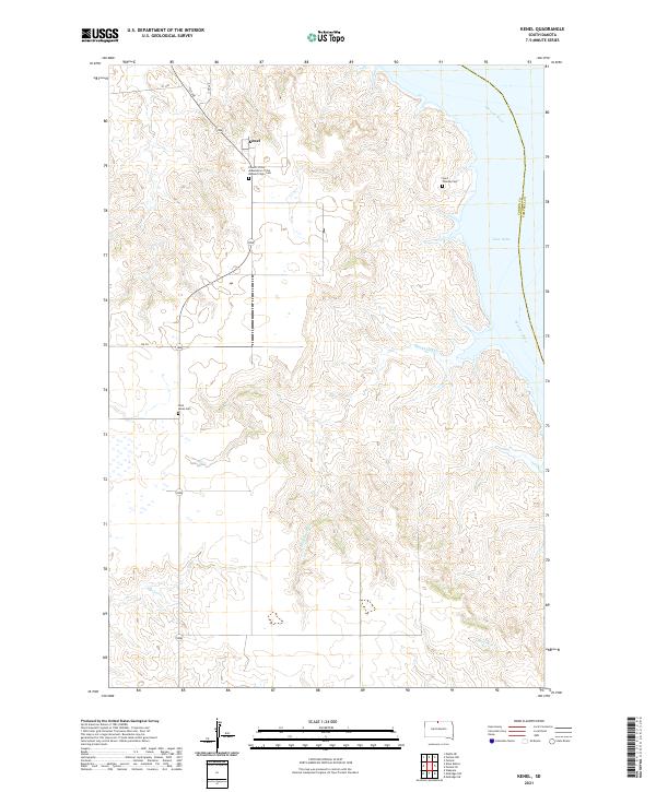
2021 Map of Kenel
USGS Topo · Published 2021About this map
Kenel sits on the western bluffs overlooking the wide expanse of the Missouri River, where the landscape transitions into the waters of Lake Oahe. This area of Corson County is characterized by its deep coulees and drainages like Blackhawk Cr and Mad Bear Cr, which carve through the high plains toward the river valley. The community structure is anchored by religious and memorial sites, most notably the Church of the Assumption of the Blessed Virgin Cem and the smaller Saint Lukes Cem and Saint Thomas Cem. The road network remains sparse, with routes like 1st Ave, 2nd Ave, and 108 TH providing the primary access through the undulating terrain near the Standing Rock Reservation border.
Find a feature on this map
18 named features on this map. Tap any name to fly to it.
Don’t see what you’re looking for? This feature index may not catch every label — zoom into the map to look around manually.
Map Details
Editions of this 2021 Kenel Map
This is the sole edition of this map. No revisions or reprints were ever made.
Other maps of this area

1953 · McIntosh
USGS Topo · 1:250,000

1956 · Wakpala
USGS Topo · 1:24,000

1958 · McIntosh
USGS Topo · 1:250,000

1965 · Pollock SE
USGS Topo · 1:24,000

1965 · Pollock
USGS Topo · 1:24,000

1966 · Mahto NE
USGS Topo · 1:24,000

1966 · Kenel
USGS Topo · 1:24,000

1966 · Kline Buttes
USGS Topo · 1:24,000

1966 · Pollock NW
USGS Topo · 1:24,000

1967 · Mobridge NE
USGS Topo · 1:24,000