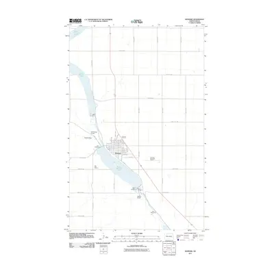
2011 Map of Kenmare
USGS Topo · Published 2011About this map
Kenmare is situated along the eastern banks of Middle Des Lacs Lake, a significant water feature that defines the local geography in Ward County. The town layout is characterized by a grid of numbered streets and avenues, with E Division St and Soo St serving as central corridors. This 2011 survey captures the transition from the concentrated residential and commercial blocks of the town center to the vast agricultural sections of the North Dakota prairie, crisscrossed by a network of rural routes such as 478th Ave NW and 520th St NW. To the north, Upper Des Lacs Lake extends toward the horizon, while a series of water management structures including Dam Number 2, Dam Number 3, and Dam Number 4 regulate the flow through the coulee-scarred landscape. Notable local landmarks for researchers include Rose Hill Cemetery and Lake View Cemetery, alongside the Kenmare Municipal Airport and the path of Old Hwy 52.
Find a feature on this map
32 named features on this map. Tap any name to fly to it.
Don’t see what you’re looking for? This feature index may not catch every label — zoom into the map to look around manually.
Map Details
Editions of this 2011 Kenmare Map
This is the sole edition of this map. No revisions or reprints were ever made.
Other maps of this area

1947 · Tolley
USGS Topo · 1:62,500

1947 · Bowbells
USGS Topo · 1:24,000

1948 · Kenmare
USGS Topo · 1:24,000

1948 · Norma
USGS Topo · 1:24,000

1948 · Donnybrook
USGS Topo · 1:24,000

1949 · Mosquito Butte
USGS Topo · 1:24,000

1949 · Bowbells
USGS Topo · 1:24,000

1949 · Bowbells SE
USGS Topo · 1:24,000

1949 · Niobe
USGS Topo · 1:24,000

1949 · Coulee
USGS Topo · 1:24,000