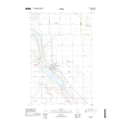
2017 Map of Kenmare
USGS Topo · Published 2017About this map
Kenmare is situated at the junction of the Soo Line railroad and the dramatic coulee-cut terrain of northwestern Ward County. This late-2010s survey illustrates a landscape deeply shaped by glacial activity, with the chain of Middle Des Lacs Lake and Upper Des Lacs Lake filling a massive meltwater channel. The town’s orderly street grid, including E Division St and Soo St SE, sits between the water and the Kenmare Municipal Airport.
Find a feature on this map
44 named features on this map. Tap any name to fly to it.
Don’t see what you’re looking for? This feature index may not catch every label — zoom into the map to look around manually.
Map Details
Editions of this 2017 Kenmare Map
This is the sole edition of this map. No revisions or reprints were ever made.
Other maps of this area

1947 · Tolley
USGS Topo · 1:62,500

1947 · Bowbells
USGS Topo · 1:24,000

1948 · Kenmare
USGS Topo · 1:24,000

1948 · Norma
USGS Topo · 1:24,000

1948 · Donnybrook
USGS Topo · 1:24,000

1949 · Mosquito Butte
USGS Topo · 1:24,000

1949 · Bowbells
USGS Topo · 1:24,000

1949 · Bowbells SE
USGS Topo · 1:24,000

1949 · Niobe
USGS Topo · 1:24,000

1949 · Coulee
USGS Topo · 1:24,000