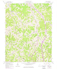
1957 Map of Kenna
USGS Topo · Published 1977About this map
The hills of Jackson County and Putnam County are defined by a network of ridges and narrow valleys where small rural communities like Fairplain and Kenna took root. This landscape is a study in mid-century rural infrastructure, featuring a dense distribution of country churches and schools. Distinctive local landmarks include Seldom Seen School and Catawba Grove School, which reflect the decentralized education system of the time. The terrain is deeply carved by watercourses such as Parchment Creek and Grasslick Creek, while prominent elevations like Hall Knob and Garnes Knob anchor the topography. This 1957 survey, with revisions from 1975, documents the transition of the region as Interstate 77 began to cut through the historic Ripley and Union Districts, following the natural corridor of the Pleasant Valley.
Find a feature on this map
83 named features on this map. Tap any name to fly to it.
Don’t see what you’re looking for? This feature index may not catch every label — zoom into the map to look around manually.
Map Details
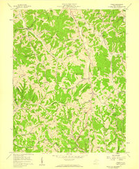
Editions of this 1957 Kenna Map
2 editions found
Other maps of this area

1906 · Kenna
USGS Topo · 1:62,500

1906 · Winfield
USGS Topo · 1:62,500

1907 · Kenna
USGS Topo · 1:62,500

1907 · Ripley
USGS Topo · 1:62,500

1908 · Winfield
USGS Topo · 1:62,500

1908 · Ravenswood
USGS Topo · 1:62,500

1926 · Ravenswood
USGS Topo · 1:62,500

1926 · Ripley
USGS Topo · 1:62,500

1928 · Ravenswood
USGS Topo · 1:62,500

1928 · Ripley
USGS Topo · 1:62,500