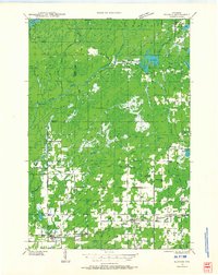
1971 Map of Kennan
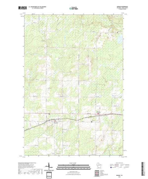
USGS Topo · Published 1973About this map
Kennan and Catawba serve as the primary hubs of this Price County landscape, established along the vital east-west corridor of the Soo Line railroad. This early 1970s survey captures a rural network of townships including Georgetown and Harmony, where local life is anchored by country institutions like St Paul Ch and the Townhall. The area’s geography is defined by a dense mix of wetlands and wooded ridges, most notably Oak Ridge, and a complex drainage system featuring Skinner Creek and the North Fork Jump R. The prevalence of small cemeteries such as Kennan Cem and Catawba Cem offers significant value for genealogists tracing family roots in these northern Wisconsin settlements. From the Harmony Lookout Tower to the secluded waters of Lake Sixteen, the map documents a transition from active agriculture and gravel extraction to the timbered wilderness typical of the region.
Find a feature on this map
38 named features on this map. Tap any name to fly to it.
Don’t see what you’re looking for? This feature index may not catch every label — zoom into the map to look around manually.
Map Details
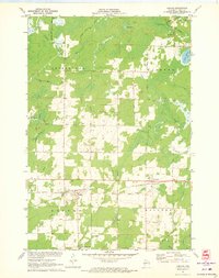
Editions of this 1971 Kennan Map
This is the sole edition of this map. No revisions or reprints were ever made.
Historical Maps of Kennan Through Time
4 maps found