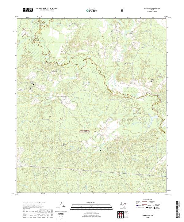
2022 Map of Kennard NE
USGS Topo · Published 2022About this map
The Neches River forms a winding, marshy boundary between Houston and Cherokee Counties, anchoring a landscape dominated by the extensive Davy Crockett National Forest. This region is a rich resource for genealogists, featuring several small burial grounds such as Sweet Union Cem and Mount Vernon Cem. One of the most distinctive markers on the map is the Mexican Prisoners Grave, a specific historical landmark situated near the McKinney and Wells Family Cem.
Find a feature on this map
50 named features on this map. Tap any name to fly to it.
Don’t see what you’re looking for? This feature index may not catch every label — zoom into the map to look around manually.
Map Details
Editions of this 2022 Kennard NE Map
This is the sole edition of this map. No revisions or reprints were ever made.
Other maps of this area

1946 · Alto
USGS Topo · 1:62,500

1950 · Kennard NE
USGS Topo · 1:24,000

1950 · Ratcliff
USGS Topo · 1:24,000

1950 · Centralia
USGS Topo · 1:24,000

1951 · Kennard
USGS Topo · 1:24,000

1951 · Wells
USGS Topo · 1:24,000

1951 · Wells SW
USGS Topo · 1:24,000

1951 · Centralia
USGS Topo · 1:24,000

1951 · Kennard NE
USGS Topo · 1:24,000

1951 · Ratcliff
USGS Topo · 1:24,000