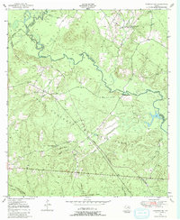
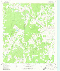
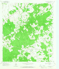
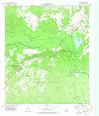
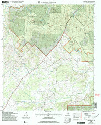
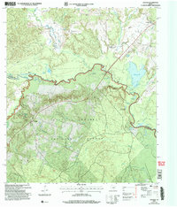
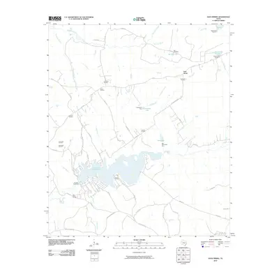
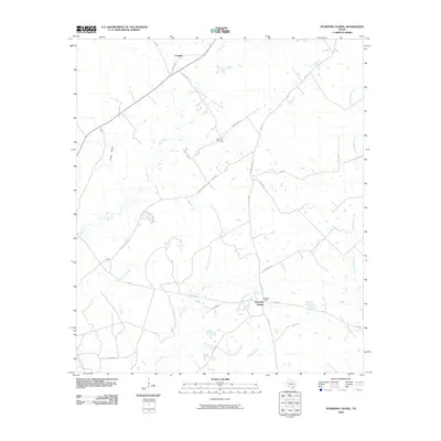
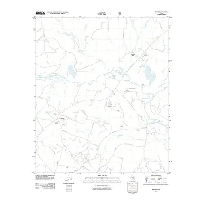
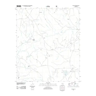
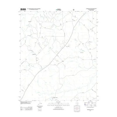
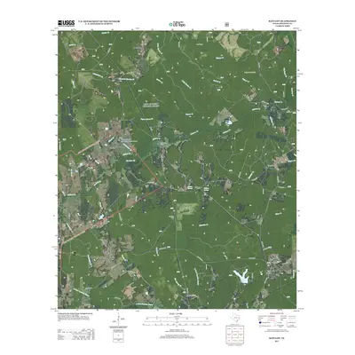
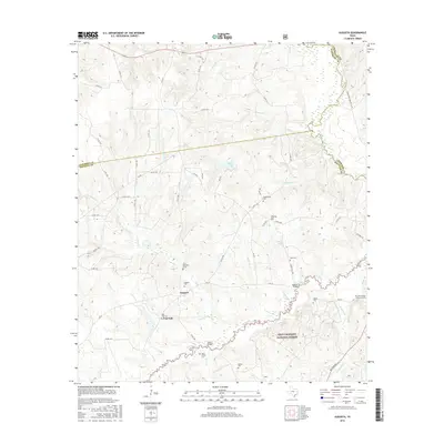
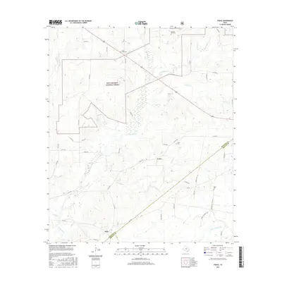
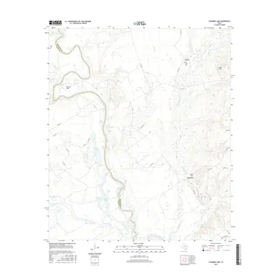
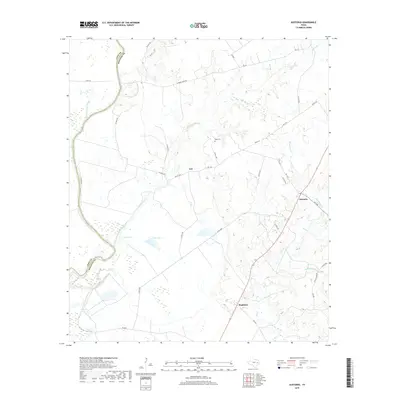
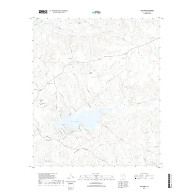
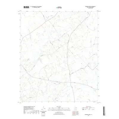
1950 Map of Kennard NE
USGS Topo · Published 1983About this map
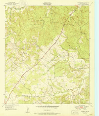
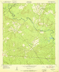
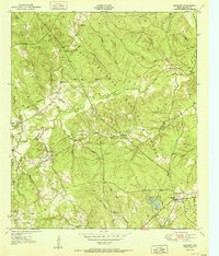
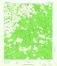
The Neches River forms a winding natural boundary across this landscape, dividing Houston, Cherokee, and Angelina counties at the dawn of the 1950s. Much of the southern and central terrain is defined by the Davy Crockett National Forest, where a network of industry-linked paths like the Old Railroad Grade and Logging Railroad Grade suggests a history of timber extraction and transport. Small community centers are identified by rural institutions, including Mount Vernon Ch and Plain Ch, providing essential reference points for genealogists tracing family locations in this wooded region.
Find a feature on this map
30 named features on this map. Tap any name to fly to it.
Don’t see what you’re looking for? This feature index may not catch every label — zoom into the map to look around manually.
Map Details
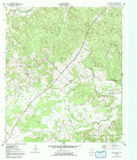
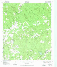
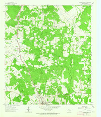
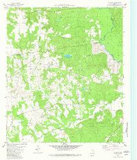
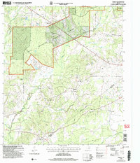
Editions of this 1950 Kennard NE Map
2 editions found

Historical Maps of Mount Vernon Through Time
105 maps found
1950 Crockett NE
Houston County, TX
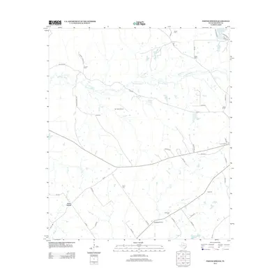
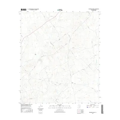
1950 Kennard NE
Houston County, TX
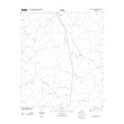
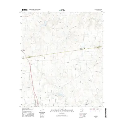
1950 Ratcliff
Houston County, TX
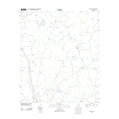
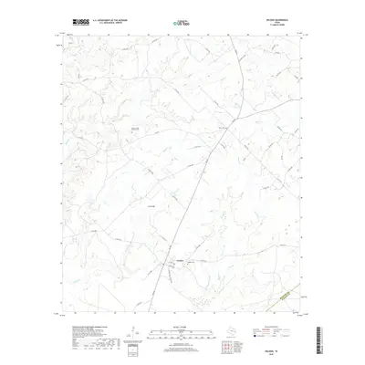
1951 Berea
Houston County, TX
1951 Crockett NE
Houston County, TX
1951 Kennard NE
Houston County, TX
1951 Ratcliff
Houston County, TX
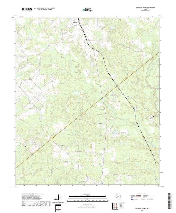
1962 Lovelady South
Houston County, TX
1963 Fodice
Houston County, TX
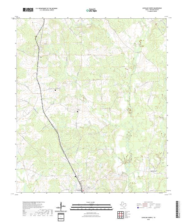
1963 Lovelady North
Houston County, TX
1964 Austonio
Houston County, TX
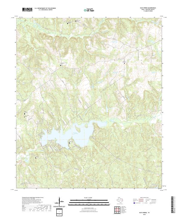
1964 Hays Spring
Houston County, TX
1964 Pearsons Chapel
Houston County, TX
1964 Porter Springs
Houston County, TX
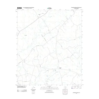
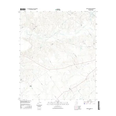
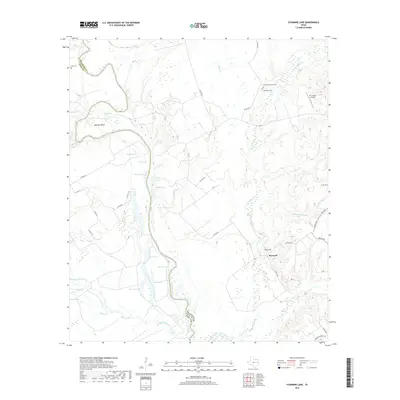
1964 Stanmire Lake
Houston County, TX
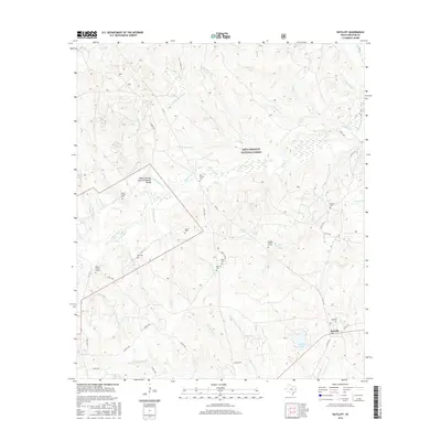
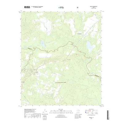
1964 Weldon
Houston County, TX
1973 Weches
Houston County, TX
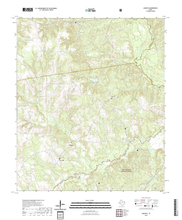
1982 Augusta
Houston County, TX
1982 Percilla
Houston County, TX
2004 Berea
Houston County, TX
2004 Crockett NE
Houston County, TX
2004 Fodice
Houston County, TX
2004 Kennard NE
Houston County, TX
2004 Ratcliff
Houston County, TX
2004 Weches
Houston County, TX
2010 Augusta
Houston County, TX
2010 Austonio
Houston County, TX
2010 Crockett NE
Houston County, TX
2010 Hays Spring
Houston County, TX
2010 Kennard NE
Houston County, TX
2010 Lovelady North
Houston County, TX
2010 Lovelady South
Houston County, TX
2010 Pearsons Chapel
Houston County, TX
2010 Percilla
Houston County, TX
2010 Porter Springs
Houston County, TX
2010 Stanmire Lake
Houston County, TX
2010 Weches
Houston County, TX
2010 Weldon
Houston County, TX
2011 Berea
Houston County, TX
2011 Fodice
Houston County, TX
2011 Ratcliff
Houston County, TX
2013 Augusta
Houston County, TX
2013 Austonio
Houston County, TX
2013 Berea
Houston County, TX
2013 Crockett NE
Houston County, TX
2013 Fodice
Houston County, TX

2013 Hays Spring
Houston County, TX
2013 Kennard NE
Houston County, TX
2013 Lovelady North
Houston County, TX
2013 Lovelady South
Houston County, TX
2013 Pearsons Chapel
Houston County, TX
2013 Percilla
Houston County, TX
2013 Porter Springs
Houston County, TX
2013 Ratcliff
Houston County, TX
2013 Stanmire Lake
Houston County, TX
2013 Weches
Houston County, TX
2013 Weldon
Houston County, TX
2016 Augusta
Houston County, TX
2016 Austonio
Houston County, TX
2016 Berea
Houston County, TX
2016 Crockett NE
Houston County, TX
2016 Fodice
Houston County, TX
2016 Hays Spring
Houston County, TX
2016 Kennard NE
Houston County, TX

2016 Lovelady North
Houston County, TX
2016 Lovelady South
Houston County, TX
2016 Pearsons Chapel
Houston County, TX
2016 Percilla
Houston County, TX
2016 Porter Springs
Houston County, TX
2016 Ratcliff
Houston County, TX
2016 Stanmire Lake
Houston County, TX
2016 Weches
Houston County, TX
2016 Weldon
Houston County, TX
2019 Augusta
Houston County, TX
2019 Austonio
Houston County, TX
2019 Berea
Houston County, TX
2019 Crockett NE
Houston County, TX
2019 Fodice
Houston County, TX
2019 Hays Spring
Houston County, TX
2019 Kennard NE
Houston County, TX
2019 Lovelady North
Houston County, TX
2019 Lovelady South
Houston County, TX
2019 Pearsons Chapel
Houston County, TX
2019 Percilla
Houston County, TX
2019 Porter Springs
Houston County, TX
2019 Ratcliff
Houston County, TX
2019 Stanmire Lake
Houston County, TX
2019 Weches
Houston County, TX
2019 Weldon
Houston County, TX
2022 Augusta
Houston County, TX
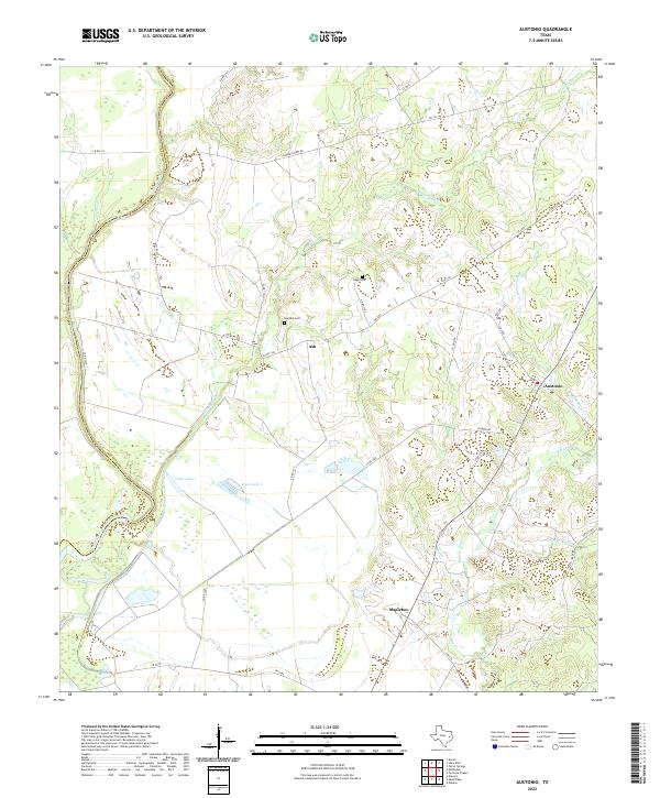
2022 Austonio
Houston County, TX
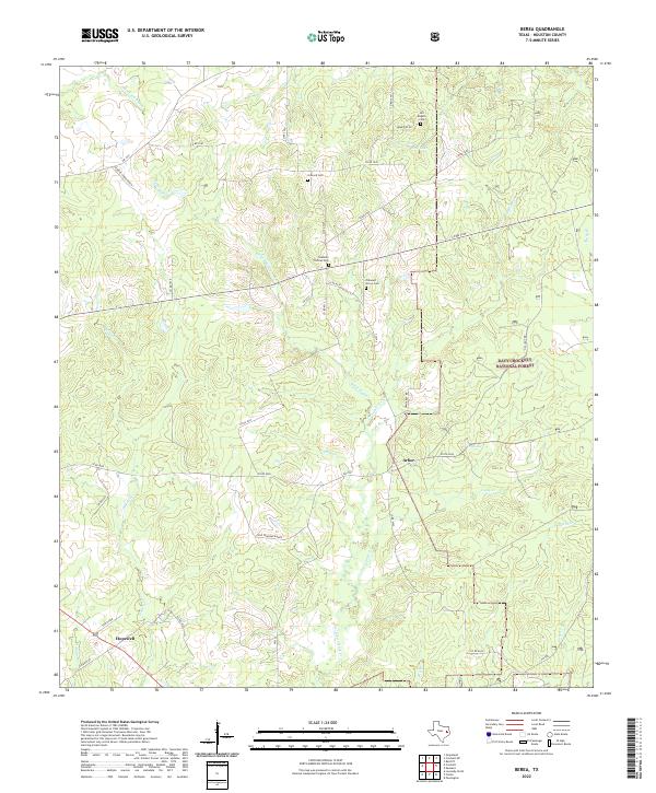
2022 Berea
Houston County, TX
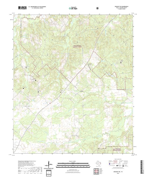
2022 Crockett NE
Houston County, TX
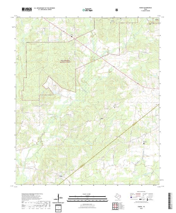
2022 Fodice
Houston County, TX
2022 Hays Spring
Houston County, TX
2022 Kennard NE
Houston County, TX
2022 Lovelady North
Houston County, TX
2022 Lovelady South
Houston County, TX
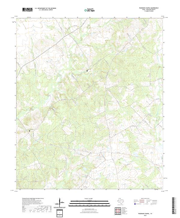
2022 Pearsons Chapel
Houston County, TX
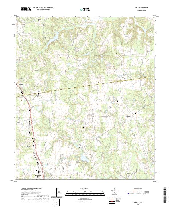
2022 Percilla
Houston County, TX
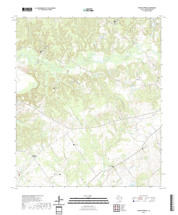
2022 Porter Springs
Houston County, TX
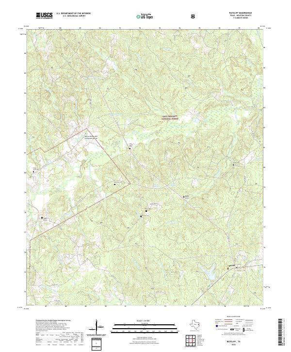
2022 Ratcliff
Houston County, TX
2022 Stanmire Lake
Houston County, TX
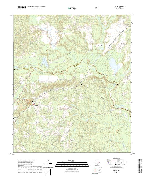
2022 Weches
Houston County, TX
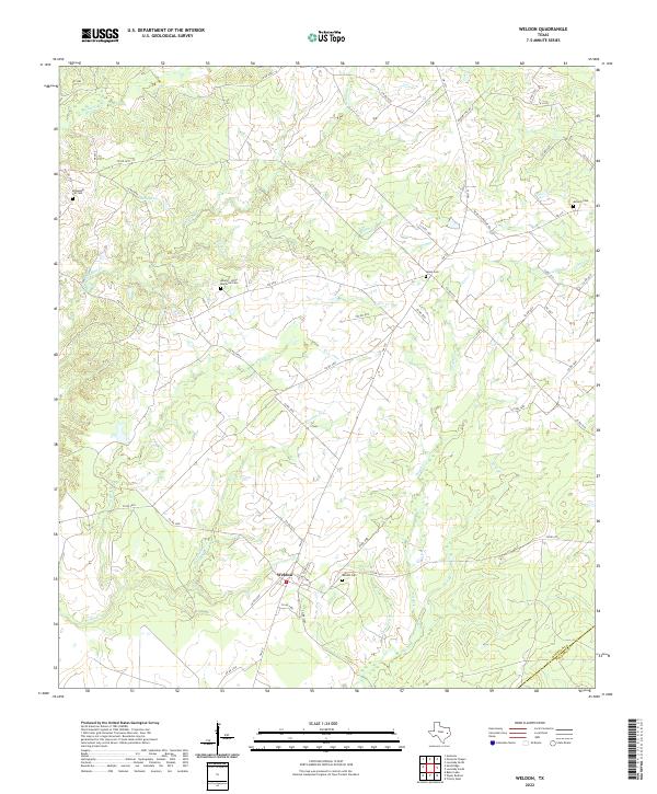
2022 Weldon
Houston County, TX