
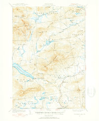
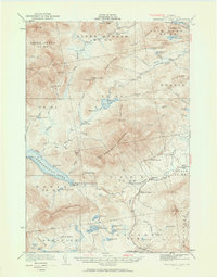
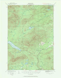
1932 Map of Kennebago Lake
USGS Topo · Published 1932About this map
Alder Stream Farm and several remote outposts mark this high-country landscape in the early 1930s. The region is defined by its numerous water bodies, including the expansive Kennebago Lake and the smaller, isolated Tim Pond. Significant logging and backcountry infrastructure is evident through several numbered camps like Camp No 11 and industrial sites such as Langtown Mill. Educational and civic life is represented by the Kennebago Sch and Langtown Sch, which served the scattered families living along the watercourses.
Find a feature on this map
94 named features on this map. Tap any name to fly to it.
Don’t see what you’re looking for? This feature index may not catch every label — zoom into the map to look around manually.
Map Details
Editions of this 1932 Kennebago Lake Map
4 editions found
Other maps of this area

1928 · Chain Lakes
USGS Topo · 1:48,000

1928 · Spencer
USGS Topo · 1:48,000

1928 · Stratton
USGS Topo · 1:48,000

1929 · Phillips
USGS Topo · 1:48,000

1931 · Cupsuptic
USGS Topo · 1:48,000

1932 · Phillips
USGS Topo · 1:62,500

1932 · Stratton
USGS Topo · 1:62,500

1932 · Spencer
USGS Topo · 1:62,500

1932 · Arnold Pond
USGS Topo · 1:48,000

1932 · Chain Lakes
USGS Topo · 1:62,500