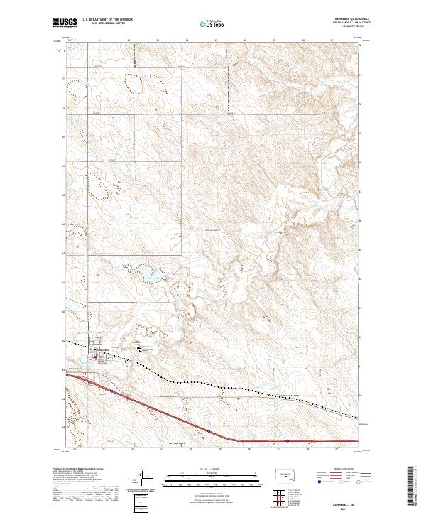
2021 Map of Kennebec
USGS Topo · Published 2021About this map
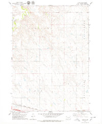
Kennebec serves as the focal point of this Lyman County landscape, situated at a junction of prairie roads and agricultural infrastructure. As the county seat, the town is anchored by the Lyman County Courthouse, with the local settlement pattern defined by a grid of numbered streets like 1st St and 2nd St that transition into the section-line road network of the surrounding plains. The local history of the community is preserved through several burial sites clustered just east of the town center, including Hillsdale Cem, Kennebec Cem, and Saint Michael's Cem.
Find a feature on this map
26 named features on this map. Tap any name to fly to it.
Don’t see what you’re looking for? This feature index may not catch every label — zoom into the map to look around manually.
Map Details
Editions of this 2021 Kennebec Map
This is the sole edition of this map. No revisions or reprints were ever made.
Other maps of this area
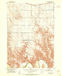
1952 · Reliance SW
USGS Topo · 1:24,000

1953 · Huron
USGS Topo · 1:250,000

1954 · Huron
USGS Topo · 1:250,000

1955 · Mitchell
USGS Topo · 1:250,000

1959 · Mitchell
USGS Topo · 1:250,000

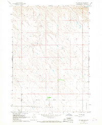
1966 · Lower Brule SW
USGS Topo · 1:24,000

1966 · Joe Creek SE
USGS Topo · 1:24,000
1966 · Joe Creek SW
USGS Topo · 1:24,000
1978 · Brakke Dam
USGS Topo · 1:24,000
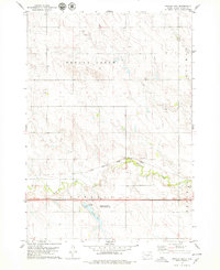
1978 · Lyman
USGS Topo · 1:24,000