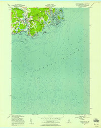
1956 Map of Kennebunkport
USGS Topo · Published 1958About this map
Kennebunkport and its neighboring coastal settlements are detailed in this mid-1950s survey, showing a landscape defined by its deep maritime heritage and tidal geography. The Kennebunk River divides the principal village from Lower Village, while to the east, the village of Cape Porpoise sits protected by an archipelago including Stage Island and Trott Island. The presence of the Goat Island Lighthouse and various sounding depths throughout Cape Porpoise Harbor highlights the area's continued reliance on the sea.
Find a feature on this map
56 named features on this map. Tap any name to fly to it.
Don’t see what you’re looking for? This feature index may not catch every label — zoom into the map to look around manually.
Map Details
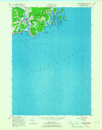
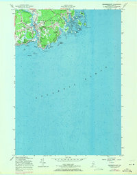
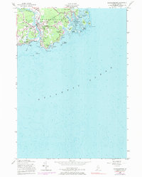
Editions of this 1956 Kennebunkport Map
4 editions found
Other maps of this area

1891 · Biddeford
USGS Topo · 1:62,500

1891 · Kennebunk
USGS Topo · 1:62,500

1893 · Kennebunk
USGS Topo · 1:62,500

1893 · York
USGS Topo · 1:62,500

1893 · Biddeford
USGS Topo · 1:62,500

1898 · Kennebunk
USGS Topo · 1:62,500

1920 · York
USGS Topo · 1:62,500

1941 · Biddeford
USGS Topo · 1:62,500

1941 · Kennebunk
USGS Topo · 1:62,500

1944 · Wells
USGS Topo · 1:24,000