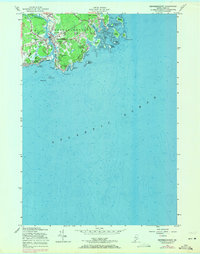
1956 Map of Kennebunkport
USGS Topo · Published 1971About this map
The Kennebunk River shapes the western boundary of this coastal landscape, where the seafaring tradition of Kennebunkport meets the summer resort culture of Kennebunk Beach. This 1956 survey, updated with 1970 revisions shown in purple, captures the transition of the Maine coast into a premier leisure destination, featuring both the Webhannet Golf Course and Cape Arundel Golf Course. The maritime importance of the area is anchored by the Goat Island Lighthouse guarding Cape Porpoise Harbor, a cluster of islands including Trott Island and Vaughn Island. Inland, small hamlets like Wildes Corner and Coopers Corner provide a glimpse into the local settlement patterns away from the rocky shore. Notable landmarks such as the Grist Mill on Grist Mill Pond and the prominent Walkers Point illustrate the mix of historical industry and significant residential estates that characterize the York County shoreline.
Find a feature on this map
50 named features on this map. Tap any name to fly to it.
Don’t see what you’re looking for? This feature index may not catch every label — zoom into the map to look around manually.
Map Details
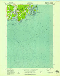
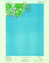
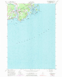
Editions of this 1956 Kennebunkport Map
4 editions found
Other maps of this area

1891 · Biddeford
USGS Topo · 1:62,500

1891 · Kennebunk
USGS Topo · 1:62,500

1893 · Kennebunk
USGS Topo · 1:62,500

1893 · York
USGS Topo · 1:62,500

1893 · Biddeford
USGS Topo · 1:62,500

1898 · Kennebunk
USGS Topo · 1:62,500

1920 · York
USGS Topo · 1:62,500

1941 · Biddeford
USGS Topo · 1:62,500

1941 · Kennebunk
USGS Topo · 1:62,500

1944 · Wells
USGS Topo · 1:24,000