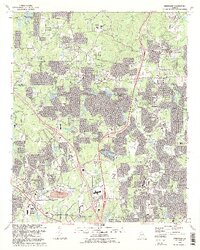
1992 Map of Kennesaw
USGS Topo · Published 1993About this map
The expanding suburban landscape of northern Cobb County is captured here in the early 1990s, revealing the dense residential growth surrounding Kennesaw, Woodstock, and Blackwells. Large-scale development is evident near the Cobb County Airport McCollum Field and the campus of Kennesaw State College, illustrating the area's rapid transition into a major regional hub. The Louisville and Nashville railroad corridor remains a central axis for the community, while natural areas like Allatoona Lake and the Kellogg Creek Public Use Area in the northwest offer a stark contrast to the subdivided neighborhoods.
Find a feature on this map
82 named features on this map. Tap any name to fly to it.
Don’t see what you’re looking for? This feature index may not catch every label — zoom into the map to look around manually.
Map Details
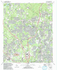
Editions of this 1992 Kennesaw Map
2 editions found
Other maps of this area

1888 · Atlanta
USGS Topo · 1:125,000

1890 · Suwanee
USGS Topo · 1:125,000

1890 · Cartersville
USGS Topo · 1:125,000

1890 · Atlanta
USGS Topo · 1:125,000

1891 · Marietta
USGS Topo · 1:125,000

1891 · Cartersville
USGS Topo · 1:125,000

1892 · Atlanta
USGS Topo · 1:125,000

1894 · Suwanee
USGS Topo · 1:125,000

1895 · Atlanta
USGS Topo · 1:125,000

1895 · Marietta
USGS Topo · 1:125,000