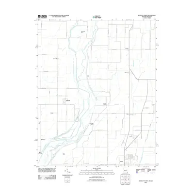
2011 Map of Kennett North
USGS Topo · Published 2011About this map
The Saint Francis River defines the western corridor of this Missouri-Arkansas borderlands region, winding through a landscape of large alluvial islands and agricultural drainage systems. Settlements like Carryville, Nimmons, and Frisbee dot the grid of county roads, representing the rural hubs of Dunklin County. The map provides significant detail for genealogists, recording the locations of Nimmons Cemetery, McCulley Cemetery, and Gregory Cemetery near the community of Owens.
Find a feature on this map
72 named features on this map. Tap any name to fly to it.
Don’t see what you’re looking for? This feature index may not catch every label — zoom into the map to look around manually.
Map Details
Editions of this 2011 Kennett North Map
2 editions found
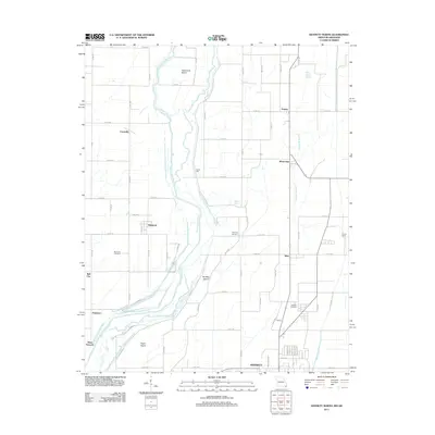
Other maps of this area

1934 · Kennett
USGS Topo · 1:62,500

1940 · Pascola
USGS Topo · 1:62,500

1940 · Kennett
USGS Topo · 1:62,500

1940 · Hayti
USGS Topo · 1:62,500

1940 · Piggott
USGS Topo · 1:62,500

1955 · Pascola
USGS Topo · 1:62,500

1955 · Hayti
USGS Topo · 1:62,500

1956 · Kennett
USGS Topo · 1:62,500

1956 · Piggott
USGS Topo · 1:62,500

1956 · Dyersburg
USGS Topo · 1:250,000