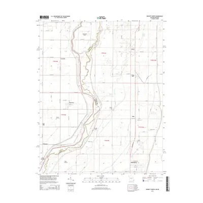
2015 Map of Kennett North
USGS Topo · Published 2015About this map
The Saint Francis River carves a winding path along the state boundary in this detailed survey, dividing Clay County, Arkansas, from Dunklin County, Missouri. This lowland landscape is defined by its sophisticated drainage network, featuring man-made improvements like Lateral Number 2 and the West Ditch that help manage the alluvial plains. Several named river features, including Sevenmile Island and Ten Mile Island, illustrate the shifting nature of the river's course over time.
Find a feature on this map
82 named features on this map. Tap any name to fly to it.
Don’t see what you’re looking for? This feature index may not catch every label — zoom into the map to look around manually.
Map Details
Editions of this 2015 Kennett North Map
This is the sole edition of this map. No revisions or reprints were ever made.
Other maps of this area

1934 · Kennett
USGS Topo · 1:62,500

1940 · Pascola
USGS Topo · 1:62,500

1940 · Kennett
USGS Topo · 1:62,500

1940 · Hayti
USGS Topo · 1:62,500

1940 · Piggott
USGS Topo · 1:62,500

1955 · Pascola
USGS Topo · 1:62,500

1955 · Hayti
USGS Topo · 1:62,500

1956 · Kennett
USGS Topo · 1:62,500

1956 · Piggott
USGS Topo · 1:62,500

1956 · Dyersburg
USGS Topo · 1:250,000