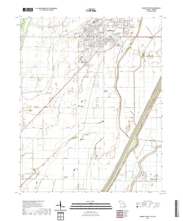
2021 Map of Kennett South
USGS Topo · Published 2021About this map
Kennett serves as the focal point of this Bootheel landscape, where the southern portion of the city gives way to a complex grid of agricultural drainages. Educational institutions like Southeast Missouri State University - Kennett and Three Rivers College-Kennett anchor the municipal area, while several family and community burial grounds, including Oak Ridge Cem and Willoughby Cem, provide significant landmarks for genealogical research. The map illustrates a highly managed hydrologic system essential for the region's farming, defined by an intricate network of ditches such as Lateral Number 1 and the Dunklin County Cut-off.
Find a feature on this map
48 named features on this map. Tap any name to fly to it.
Don’t see what you’re looking for? This feature index may not catch every label — zoom into the map to look around manually.
Map Details
Editions of this 2021 Kennett South Map
This is the sole edition of this map. No revisions or reprints were ever made.
Other maps of this area

1934 · Kennett
USGS Topo · 1:62,500

1940 · Pascola
USGS Topo · 1:62,500

1940 · Kennett
USGS Topo · 1:62,500

1940 · Hayti
USGS Topo · 1:62,500

1940 · Piggott
USGS Topo · 1:62,500

1955 · Pascola
USGS Topo · 1:62,500

1955 · Hayti
USGS Topo · 1:62,500

1956 · Kennett
USGS Topo · 1:62,500

1956 · Piggott
USGS Topo · 1:62,500

1956 · Dyersburg
USGS Topo · 1:250,000