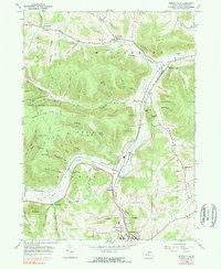
1954 Map of Kenneyville
USGS Topo · Published 1971About this map
Crooked Creek and Marsh Creek define the valley corridors of this Tioga County landscape, where small hamlets and farmsteads are connected by the Penn Central rail line. The settlement at Middlebury Center serves as a key transit point, while the southern reaches of the map show the industrial and rail hub at Wellsboro Junction and the northern outskirts of Wellsboro. These valleys are dotted with community landmarks like the Middlebury Union Cem and the Marsh Creek Sch, reflecting the rural social structure of the mid-20th century.
Find a feature on this map
68 named features on this map. Tap any name to fly to it.
Don’t see what you’re looking for? This feature index may not catch every label — zoom into the map to look around manually.
Map Details
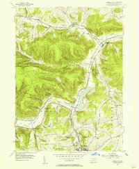
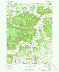
Editions of this 1954 Kenneyville Map
3 editions found
Other maps of this area

1900 · Tioga
USGS Topo · 1:62,500

1900 · Elkland
USGS Topo · 1:62,500

1902 · Tioga
USGS Topo · 1:62,500

1925 · Blossburg
USGS Topo · 1:62,500

1927 · Blossburg
USGS Topo · 1:62,500

1944 · Blossburg
USGS Topo · 1:62,500

1946 · Tiadaghton
USGS Topo · 1:24,000

1946 · Antrim
USGS Topo · 1:62,500

1946 · Antrim
USGS Topo · 1:24,000

1948 · Antrim
USGS Topo · 1:24,000
Featured Places
- Wellsboro, PA
- Stokesdale, Delmar Township
- Keeneyville, Middlebury Township
- Shortsville, Chatham Township
- Middlebury Township, PA