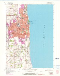
1958 Map of Kenosha
USGS Topo · Published 1976About this map
Kenosha dominates this mid-century shoreline survey, showing a city in a period of significant post-war expansion. The purple revision tint highlights the outward growth of residential areas into the surrounding townships of Somers and Pleasant Prairie. The industrial and educational infrastructure of the era is densely mapped, featuring institutions like Carthage College and Kemper Hall, alongside an extensive network of neighborhood schools including McKinley Jr High Sch and Lincoln Jr High Sch.
Find a feature on this map
65 named features on this map. Tap any name to fly to it.
Don’t see what you’re looking for? This feature index may not catch every label — zoom into the map to look around manually.
Map Details
Editions of this 1958 Kenosha Map
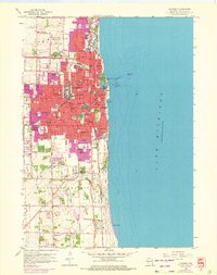
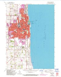
4 editions found
Other maps of this area

1892 · Racine
USGS Topo · 1:62,500

1905 · Racine
USGS Topo · 1:62,500

1906 · Waukegan
USGS Topo · 1:62,500

1908 · Waukegan
USGS Topo · 1:62,500
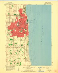
1958 · Kenosha
USGS Topo · 1:24,000
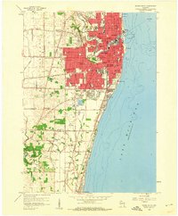
1958 · Racine South
USGS Topo · 1:24,000
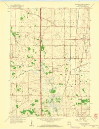
1958 · Pleasant Prairie
USGS Topo · 1:24,000

1958 · Racine
USGS Topo · 1:250,000
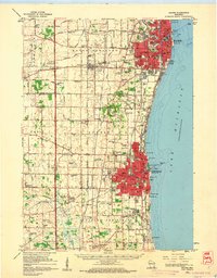
1959 · Racine
USGS Topo · 1:62,500
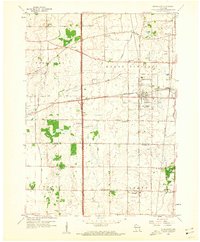
1959 · Sturtevant
USGS Topo · 1:24,000