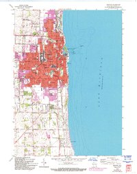
1958 Map of Kenosha
USGS Topo · Published 1994About this map
The city of Kenosha dominates this lakeshore landscape, showing a dense grid of residential and industrial development along the western edge of Lake Michigan. The 1950s layout reveals an era of established urban infrastructure, featuring a notable concentration of educational and religious institutions such as Carthage College and Kemper Hall. Further south, the map transitions into the developing coastal areas of Carol Beach and the hamlet of Tobin, where the influence of the C NS & M Station and the primary artery of Sheridan Rd suggests a community shaped by its proximity to both the water and the rail lines. The presence of numerous neighborhood facilities, from the St George Cem to the local Drive-in Theater, illustrates the mid-century social fabric of a growing industrial port city and its surrounding townships like Somers and Pleasant Prairie.
Find a feature on this map
71 named features on this map. Tap any name to fly to it.
Don’t see what you’re looking for? This feature index may not catch every label — zoom into the map to look around manually.
Map Details
Editions of this 1958 Kenosha Map
4 editions found
Other maps of this area

1892 · Racine
USGS Topo · 1:62,500

1905 · Racine
USGS Topo · 1:62,500

1906 · Waukegan
USGS Topo · 1:62,500

1908 · Waukegan
USGS Topo · 1:62,500
1958 · Kenosha
USGS Topo · 1:24,000
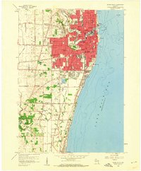
1958 · Racine South
USGS Topo · 1:24,000
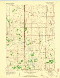
1958 · Pleasant Prairie
USGS Topo · 1:24,000

1958 · Racine
USGS Topo · 1:250,000
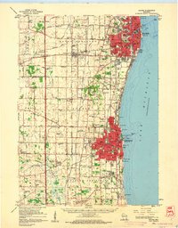
1959 · Racine
USGS Topo · 1:62,500

1959 · Sturtevant
USGS Topo · 1:24,000