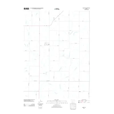
2013 Map of Kent
USGS Topo · Published 2013About this map
Kent and the surrounding Union County landscape are defined by the winding network of the Platte River and its various forks. In this 2013 survey, the small community of Kent sits at the intersection of Beechwood Ave and 245th St, where local streets like Berwick St, Hobart St, and Cherry St form a compact grid amidst the surrounding agricultural acreage. To the southeast lies Polen, a secondary settlement node near the confluence of local tributaries. The terrain is intricately drained by waterways such as Todd Br, Middle Platte River, and the E Br Middle Platte River. The map also captures several boundary roads, including Adams Taylor St and Ringgold Union St, which signify the intersection of county lines and local jurisdictional histories.
Find a feature on this map
42 named features on this map. Tap any name to fly to it.
Don’t see what you’re looking for? This feature index may not catch every label — zoom into the map to look around manually.
Map Details
Editions of this 2013 Kent Map
This is the sole edition of this map. No revisions or reprints were ever made.
Other maps of this area

1954 · Omaha
USGS Topo · 1:250,000

1955 · Nebraska City
USGS Topo · 1:250,000

1957 · Nebraska City
USGS Topo · 1:250,000

1957 · Omaha
USGS Topo · 1:250,000

1958 · Omaha
USGS Topo · 1:250,000

1958 · Nebraska City
USGS Topo · 1:250,000

1980 · Merle Junction
USGS Topo · 1:24,000

1980 · Lenox
USGS Topo · 1:24,000

1980 · Creston East
USGS Topo · 1:24,000
1980 · Prescott
USGS Topo · 1:24,000