
1968 Map of Kenton
USGS Topo · Published 1971About this map
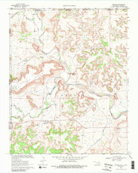
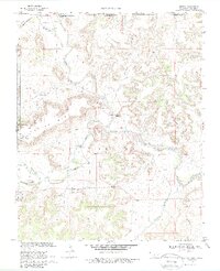
Kenton sits at the base of the prominent Black Mesa escarpment, marking a significant geographic and political crossroads in the Oklahoma Panhandle during the late 1960s. This survey by the Oklahoma Water Resources Board and other state agencies highlights the intersection of the Cimarron River and its various tributaries, including the Dry Cimarron River and Carrizozo Creek. The landscape is defined by its mesas and deep drainages like Burrows Canyon and Blacksmith Canyon, which provided distinct landmarks for early travelers and cattle drivers.
Find a feature on this map
23 named features on this map. Tap any name to fly to it.
Don’t see what you’re looking for? This feature index may not catch every label — zoom into the map to look around manually.
Map Details
Editions of this 1968 Kenton Map
3 editions found
Other maps of this area

1891 · Springfield
USGS Topo · 1:125,000

1892 · Mt Carrizo
USGS Topo · 1:125,000

1893 · Springfield
USGS Topo · 1:125,000

1954 · Dalhart
USGS Topo · 1:250,000

1955 · La Junta
USGS Topo · 1:250,000

1958 · La Junta
USGS Topo · 1:250,000

1958 · Dalhart
USGS Topo · 1:250,000

1962 · Dalhart
USGS Topo · 1:250,000

1968 · La Junta
USGS Topo · 1:250,000

1969 · Kenton SE
USGS Topo · 1:24,000