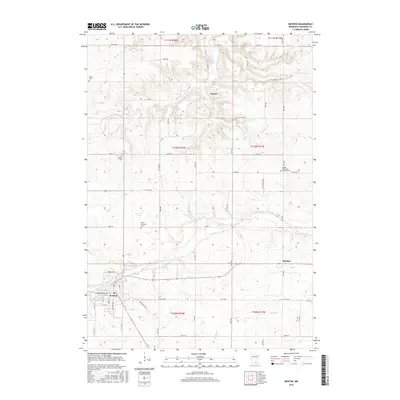
2016 Map of Kenyon
USGS Topo · Published 2016About this map
Kenyon serves as the primary hub of this landscape, situated at the junction of the Mantorville Trl and various regional boulevards. The surrounding Goodhue County countryside is defined by the drainage of the Little Cannon River in the north and the N Fork Zumbro River flowing through the center. Small rural clusters and historical points of interest are scattered throughout the township grid, including the small settlements of Nansen and Bombay. Genealogists will find significant value in the documentation of several local burial sites, most notably the Holden Norwegian Lutheran Cem, which points to the Scandinavian heritage of the region, alongside Saint Michaels Cem, Little Cannon Cem, and Wangs Cem. The road network follows a structured grid, yet many routes like Bow Trl and Trondheim Rd conform to the winding valleys and stream beds that cut through the agricultural terrain.
Find a feature on this map
33 named features on this map. Tap any name to fly to it.
Don’t see what you’re looking for? This feature index may not catch every label — zoom into the map to look around manually.
Map Details
Editions of this 2016 Kenyon Map
This is the sole edition of this map. No revisions or reprints were ever made.
Other maps of this area

1953 · Saint Paul
USGS Topo · 1:250,000

1959 · Saint Paul
USGS Topo · 1:250,000

1960 · Dennison
USGS Topo · 1:24,000

1960 · Nerstrand
USGS Topo · 1:24,000

1962 · Moland
USGS Topo · 1:24,000

1965 · Concord
USGS Topo · 1:24,000

1965 · West Concord
USGS Topo · 1:24,000

1968 · Kenyon
USGS Topo · 1:24,000

1968 · Sogn
USGS Topo · 1:24,000

1968 · Wanamingo
USGS Topo · 1:24,000