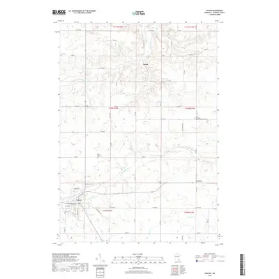
2019 Map of Kenyon
USGS Topo · Published 2019About this map
Kenyon serves as the primary hub of this Goodhue County landscape, situated at the confluence of several regional transit routes. The town is oriented around the N Fork Zumbro River, which flows through the southern half of the sheet before being joined by Pearl Cr and Spring Cr. The mapping of this area reveals a distinct grid of agricultural roads, such as CO 12 Blvd and CO 44 Blvd, which connect outlying rural settlements like Bombay and Nansen.
Find a feature on this map
46 named features on this map. Tap any name to fly to it.
Don’t see what you’re looking for? This feature index may not catch every label — zoom into the map to look around manually.
Map Details
Editions of this 2019 Kenyon Map
This is the sole edition of this map. No revisions or reprints were ever made.
Other maps of this area

1953 · Saint Paul
USGS Topo · 1:250,000

1959 · Saint Paul
USGS Topo · 1:250,000

1960 · Dennison
USGS Topo · 1:24,000

1960 · Nerstrand
USGS Topo · 1:24,000

1962 · Moland
USGS Topo · 1:24,000

1965 · Concord
USGS Topo · 1:24,000

1965 · West Concord
USGS Topo · 1:24,000

1968 · Kenyon
USGS Topo · 1:24,000

1968 · Sogn
USGS Topo · 1:24,000

1968 · Wanamingo
USGS Topo · 1:24,000