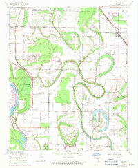
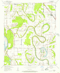
1954 Map of Keo
USGS Topo · Published 1971About this map
Plum Bayou snakes through this low-lying agricultural landscape on the border of Lonoke and Pulaski Counties, defining the area's drainage and settlement patterns during the mid-20th century. The town of Keo serves as a local hub, situated where the St Louis Southwestern railroad tracks meet the winding turns of Morris Brake. This era shows a high density of rural community centers, with numerous country churches and chapels such as Paradise Church, Springfield Church, and Macedonia Chapel serving the surrounding family farms. The map illustrates the shifting nature of the Arkansas River floodplain, where oxbows and depressions like Ash Flat Lake, Clear Lake, and Cross Pond punctuate the grid of section lines and gravel roads. Scattered landings and small airstrips, including the Bredlow Landing Strip, reflect the region's reliance on both water and air for transport and crop dusting in this productive delta environment.
Find a feature on this map
37 named features on this map. Tap any name to fly to it.
Don’t see what you’re looking for? This feature index may not catch every label — zoom into the map to look around manually.
Map Details
Editions of this 1954 Keo Map
2 editions found
Other maps of this area

1891 · Little Rock
USGS Topo · 1:125,000

1893 · Little Rock
USGS Topo · 1:125,000

1932 · Pastoria
USGS Topo · 1:62,500

1935 · Sweet Home
USGS Topo · 1:24,000

1935 · Altheimer
USGS Topo · 1:62,500

1935 · Pastoria
USGS Topo · 1:62,500

1937 · England
USGS Topo · 1:48,000

1939 · Keo
USGS Topo · 1:31,680

1940 · Woodson
USGS Topo · 1:31,680

1941 · Keo
USGS Topo · 1:31,680